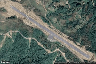
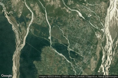
Top northern airports in Bhutan.
#1 Bathpalathang airport at Jakar (Bhutan) VQBT BUT
Altitude : 2586 m = 8484ft
Bathpalathang airport is located close to Jakar, Jakar at 1.5 km↑, Wangchukling at 1.9 km↑, Bumthang Dzongkhag at 16 km↑, Trongsa at 25 km↑, Kingdom of Bhutan at 25 km↑, Trongsa Dzongkhag at 32 km↑,
The longest runway measure : 1200 m = 3937ft
- runway 14/32 : 1200m = 3937ft
-> Aviation weather for Bathpalathang airport
#2 Paro airport at Paro (Bhutan) VQPR PBH
Altitude : 2235 m = 7333ft
Paro airport is located close to Paro, Paro at 3.2 km↑, Paro Dzongkhag at 13 km↑, Ha at 14 km↑, Raga at 16 km↑, Tashi Chho Dzong at 21 km↑, Thimphu at 23 km↑,
The airport surrounded by mountains culminating at 5490 meters and bordered by Paro Chhu, the landing is considered one of the biggest challenges for pilots. The track is only 30 meters wide and 2000 m long. In addition, the aircraft guidance system is obsolete so that the approach must be done entirely by manual piloting. After a descent and a path between the mountains to follow the topography of the valley, the track is finally visible only after having bypassed a last ridge.
The longest runway measure : 1964 m = 6444ft
- runway 15/33 : 1964m = 6444ft
-> Aviation weather for Paro airport
#3 Yongphulla airport at Yongphulla (Bhutan) VQTY YON VQ10
Altitude : 2743 m = 8999ft
Yongphulla airport is located close to Yongphulla, Trashigang at 9.4 km↑, Trashigang Dzongkhag at 23 km↑, Pemagatshel at 27 km↑, Mongar at 27 km↑, Mongar Dzongkhag at 28 km↑, Pemagatshel Dzongkhag at 32 km↑,
-> Aviation weather for Yongphulla airport
#4 Gelephu airport at Gelephu (Bhutan) VQGP GLU
Altitude : 299 m = 981ft
Gelephu airport is located close to Gelephu, Sarpang Dzongkhag at 17 km↑, Sarpang at 20 km↑, Tsirang Dzongkhag at 34 km↑, Tsirang at 37 km↑, Shemgang at 42 km↑, Zhemgang Dzongkhag at 44 km↑,
The longest runway measure : 1500 m = 4921ft
- runway 11/29 : 1500m = 4921ft
-> Aviation weather for Gelephu airport
Data sources
- AVWX (avwx.rest)
- Aerial maps : Google Maps (www.google.com), Microsoft Bing (www.microsoft.com) ou OpenStreetMap (www.openstreetmap.org)


