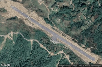
Airports at the highest altitudes, located in the mountains or on the highlands. A high altitude which rhymes with the drop in atmospheric pressure which increases the taxiing distance to allow planes to take off and therefore requires a longer runway than at lower altitudes. in Bhutan.
Altitude : 2235 m = 7333ft
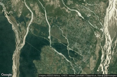
Paro airport is located close to Paro, Paro at 3.2 km↑, Paro Dzongkhag at 13 km↑, Ha at 14 km↑, Raga at 16 km↑, Tashi Chho Dzong at 21 km↑, Thimphu at 23 km↑,
The airport surrounded by mountains culminating at 5490 meters and bordered by Paro Chhu, the landing is considered one of the biggest challenges for pilots. The track is only 30 meters wide and 2000 m long. In addition, the aircraft guidance system is obsolete so that the approach must be done entirely by manual piloting. After a descent and a path between the mountains to follow the topography of the valley, the track is finally visible only after having bypassed a last ridge.
The longest runway measure : 1964 m = 6444ft
- runway 15/33 : 1964m = 6444ft
Data sources
- AVWX (avwx.rest)
- Aerial maps : Google Maps (www.google.com), Microsoft Bing (www.microsoft.com) ou OpenStreetMap (www.openstreetmap.org)


