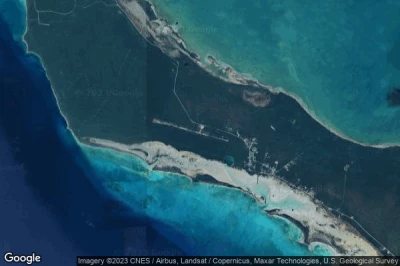
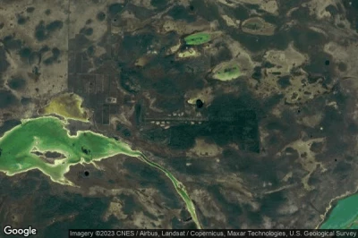
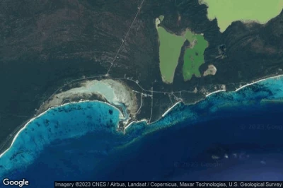
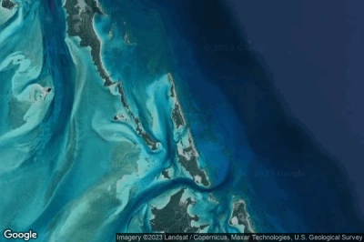
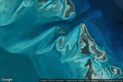
Former airports, eaten away by urbanization or transformed into giant car parks. List of these places where planes landed. in Bahamas.
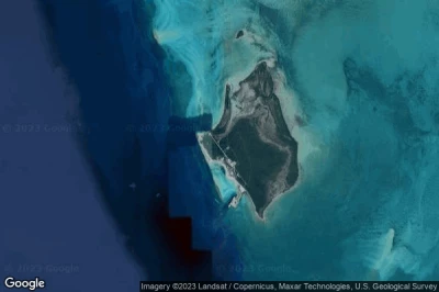
#1 Castaway Cay (Gorda Cay) Airstrip airport at Castaway Cay (Bahamas) BS-0006defunct airport
Altitude : 2 m = 7ft
Castaway Cay (Gorda Cay) Airstrip airport is located close to Castaway Cay, Sandy Point at 16 km↑, Moore’s Island District at 23 km↑, Hard Bargain at 25 km↑, South Abaco District at 30 km↑, Marsh Harbour District at 51 km↑, Marsh Harbour at 69 km↑,
-> Aviation weather for Castaway Cay (Gorda Cay) Airstrip airport
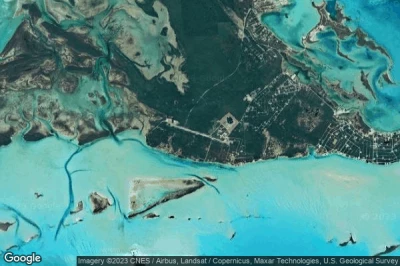
#2 George Town airport at George Town (Bahamas) MYEGdefunct airport
Altitude : 2 m = 7ft
George Town airport is located close to George Town, Long Island at 74 km↑, Clarence Town at 91 km↑, Rum Cay at 97 km↑, Port Nelson at 98 km↑, Cockburn Town at 143 km↑, Victoria Hill at 145 km↑,
The longest runway measure : 1524 m = 5000ft
- runway 11/29 : 1524m = 5000ft
-> Aviation weather for George Town airport
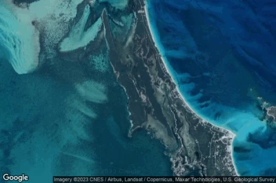
#3 Cistern Field airport at Cistern Cay (Bahamas) MYX5defunct airport
Altitude : 5 m = 16ft
Cistern Field airport is located close to Cistern Cay, Sandy Point at 55 km↑, Moore’s Island District at 67 km↑, Hard Bargain at 68 km↑, South Abaco District at 71 km↑, Macbride at 90 km↑, Nassau at 97 km↑,
-> Aviation weather for Cistern Field airport
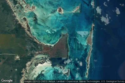
#4 Wilson City airport at Wilson City (Bahamas) BS-0015defunct airport
Altitude : 15 m = 49ft
Wilson City airport is located close to Wilson City, Marsh Harbour District at 16 km↑, Marsh Harbour at 19 km↑, South Abaco District at 44 km↑, Moore’s Island District at 55 km↑, Sandy Point at 56 km↑, Hard Bargain at 56 km↑,
-> Aviation weather for Wilson City airport
#5 Cape Eleuthera airport at Cape Eleuthera (Bahamas) MYZ2defunct airport
Altitude : 3 m = 10ft
Cape Eleuthera airport is located close to Cape Eleuthera, South Eleuthera at 12 km↑, Rock Sound at 16 km↑, Kemps Point at 18 km↑, Upper Bogue at 83 km↑, North Eleuthera District at 84 km↑, Dunmore Town at 87 km↑,
-> Aviation weather for Cape Eleuthera airport
#6 Andros Central / Twin Lakes airport at Twin Lakes (Bahamas) BS-0009defunct airport
Altitude : 10 m = 33ft
Andros Central / Twin Lakes airport is located close to Twin Lakes, North Andros District at 12 km↑, Minns at 22 km↑, Andros Town at 22 km↑, Macbride at 65 km↑, Commonwealth of The Bahamas at 71 km↑, Congo Town at 74 km↑,
-> Aviation weather for Andros Central / Twin Lakes airport
#7 Cutlass Bay airport at Cutlass Bay (Bahamas) MYCXdefunct airport
Altitude : 1 m = 3ft
Cutlass Bay airport is located close to Cutlass Bay, Rum Cay at 76 km↑, Port Nelson at 81 km↑, Victoria Hill at 89 km↑, Cockburn Town at 90 km↑, San Salvador District at 93 km↑, South Eleuthera at 107 km↑,
-> Aviation weather for Cutlass Bay airport
#8 Soldier Cay Airstrip airport at Soldier Cay (Bahamas) BS-0013defunct airport
Altitude : 9 m = 30ft
Soldier Cay Airstrip airport is located close to Soldier Cay, South Eleuthera at 64 km↑, Rock Sound at 73 km↑, Kemps Point at 74 km↑, New Providence District at 107 km↑, Nassau at 113 km↑, Commonwealth of The Bahamas at 114 km↑,
-> Aviation weather for Soldier Cay Airstrip airport
#9 Fowl Cay Airstrip airport at Fowl Cay (Bahamas) BS-0001defunct airport
Altitude : 8 m = 26ft
Fowl Cay Airstrip airport is located close to Fowl Cay, South Eleuthera at 69 km↑, Rock Sound at 78 km↑, Kemps Point at 79 km↑, New Providence District at 113 km↑, Nassau at 119 km↑, Commonwealth of The Bahamas at 120 km↑,
-> Aviation weather for Fowl Cay Airstrip airport
#10 Nassau Paradise Island airport at Nassau (Bahamas) MYPI PIDdefunct airport
Altitude : 6 m = 20ft
Nassau Paradise Island airport is located close to Nassau, Nassau at 5.1 km↑, New Providence District at 5.8 km↑, Commonwealth of The Bahamas at 8.6 km↑, Macbride at 17 km↑, Minns at 63 km↑, Andros Town at 63 km↑,
-> Aviation weather for Nassau Paradise Island airport
Data sources
- AVWX (avwx.rest)
- Aerial maps : Google Maps (www.google.com), Microsoft Bing (www.microsoft.com) ou OpenStreetMap (www.openstreetmap.org)
