aeropuertos más al sur en Islas Vírgenes Británicas.
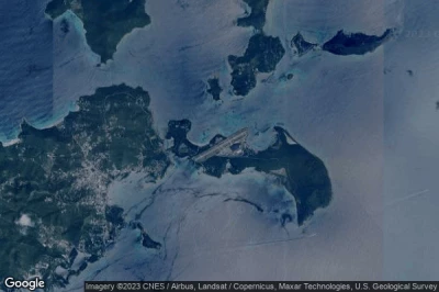
#1 aeropuerto Terrance B. Lettsome International a Road Town (Islas Vírgenes Británicas) TUPJ EIS
Altitud : 5 m = 16ft
aeropuerto Terrance B. Lettsome International se encuentra cerca de Road Town, British Virgin Islands a 7.5 km↑, Road Town a 8.5 km↑, Cruz Bay a 29 km↑, Lovenlund a 40 km↑, Charlotte Amalie a 43 km↑, Saint Thomas Island a 47 km↑,
La medida de la pista más larga : 1415 m = 4642ft
- pista 07/25 : 1415m = 4642ft
-> tiempo de aviación para el aeropuerto del Terrance B. Lettsome International
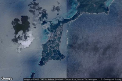
#2 aeropuerto Virgin Gorda a Spanish Town (Islas Vírgenes Británicas) TUPW VIJ
Altitud : 3 m = 10ft
aeropuerto Virgin Gorda se encuentra cerca de Spanish Town, British Virgin Islands a 9.7 km↑, Road Town a 20 km↑, Cruz Bay a 41 km↑, Lovenlund a 52 km↑, Charlotte Amalie a 54 km↑, Saint Thomas Island a 59 km↑,
La medida de la pista más larga : 945 m = 3100ft
- pista 03/21 : 945m = 3100ft
-> tiempo de aviación para el aeropuerto del Virgin Gorda
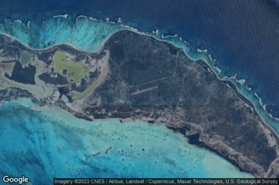
#3 aeropuerto Auguste George a Anegada (Islas Vírgenes Británicas) TUPA NGD
Altitud : 3 m = 10ft
aeropuerto Auguste George se encuentra cerca de Anegada, British Virgin Islands a 31 km↑, Road Town a 46 km↑, Cruz Bay a 66 km↑, Lovenlund a 74 km↑, Charlotte Amalie a 76 km↑, Virgin Islands of the United States a 81 km↑,
La medida de la pista más larga : 762 m = 2500ft
- pista 09/27 : 762m = 2500ft
-> tiempo de aviación para el aeropuerto del Auguste George
Fuentes de datos
- AVWX (avwx.rest)
- Vista aérea : Google Maps (www.google.com), Microsoft Bing (www.microsoft.com) ou OpenStreetMap (www.openstreetmap.org)


