seaplane bases in Virgin Islands (U.S.).
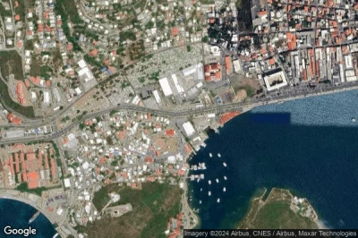
#1 Charlotte Amalie Harbor seaplane base at Charlotte Amalie St Thomas (Virgin Islands (U.S.)) SPB VI22
Altitude : 11 m = 36ft
Charlotte Amalie Harbor seaplane base is located close to Charlotte Amalie St Thomas, Charlotte Amalie at 1.1 km↑, Saint Thomas Island at 3.3 km↑, Lovenlund at 3.9 km↑, Virgin Islands of the United States at 4.6 km↑, Cruz Bay at 16 km↑, Road Town at 35 km↑,
- runway E/W : 3048m = 10000ft
- runway N/S : 1219m = 3999ft
-> Aviation weather for Charlotte Amalie Harbor airport
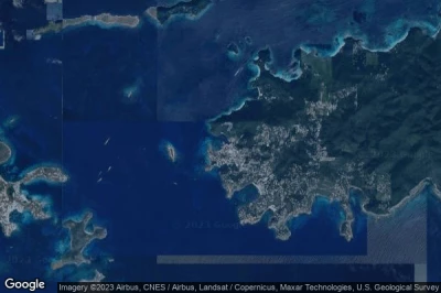
#2 Cruz Bay seaplane base at Saint John Island (Virgin Islands (U.S.)) SJF
Cruz Bay seaplane base is located close to Saint John Island, Cruz Bay at 0.2 km↑, Lovenlund at 13 km↑, Charlotte Amalie at 14 km↑, Saint Thomas Island at 18 km↑, Virgin Islands of the United States at 20 km↑, Road Town at 21 km↑,
-> Aviation weather for Cruz Bay airport
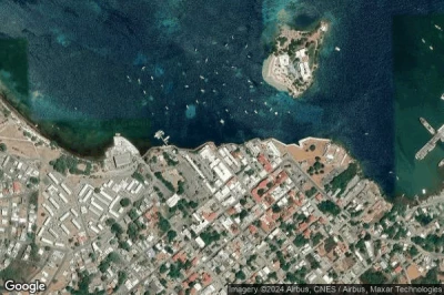
#3 Christiansted Harbor seaplane base at Christiansted St Croix (Virgin Islands (U.S.)) SSB VI32
Altitude : 6 m = 20ft
Christiansted Harbor seaplane base is located close to Christiansted St Croix, Saint Croix at 3.7 km↑, Saint Croix Island at 4.7 km↑, Envy at 12 km↑, Cruz Bay at 66 km↑, Saint Thomas Island at 70 km↑, Charlotte Amalie at 70 km↑,
- runway E/W : 2134m = 7001ft
-> Aviation weather for Christiansted Harbor airport
Data sources
- AVWX (avwx.rest)
- Aerial maps : Google Maps (www.google.com), Microsoft Bing (www.microsoft.com) ou OpenStreetMap (www.openstreetmap.org)


