Top northern airports in Marshall Islands.
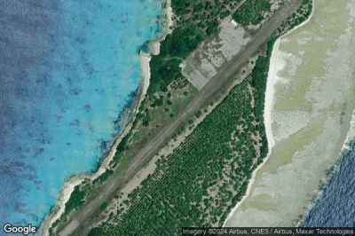
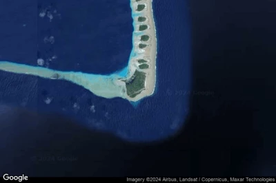
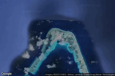
#1 Enyu airport at Bikini Atoll (Marshall Islands) BII MH-BII
Altitude : 8 m = 26ft
Enyu airport is located close to Bikini Atoll, Rongelap at 150 km↑, Wotho at 159 km↑, Ujae Atoll at 272 km↑, Ujae at 289 km↑, Lae at 299 km↑, Kwajalein Atoll at 323 km↑,
-> Aviation weather for Enyu airport
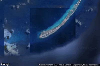
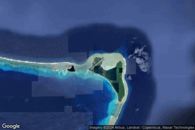
#2 Eniwetok airport at Eniwetok Atoll (Marshall Islands) PKMA ENT
Altitude : 4 m = 13ft
Eniwetok airport is located close to Eniwetok Atoll, Enewetak at 1.2 km↑, Wotho at 423 km↑, Ujae Atoll at 440 km↑, Ujae at 462 km↑, Rongelap at 498 km↑, Lae at 508 km↑,
The longest runway measure : 2347 m = 7700ft
- runway 06/24 : 2347m = 7700ft
-> Aviation weather for Eniwetok airport
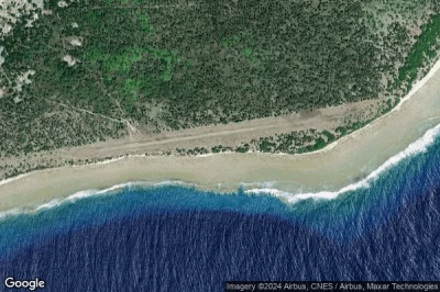
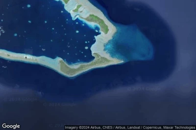
#3 Utirik airport at Utirik Island (Marshall Islands) UTK 03N
Altitude : 1 m = 3ft
Utirik airport is located close to Utirik Island, Utrik at 0.8 km↑, Ailuk at 112 km↑, Mejit at 153 km↑, Likiep at 166 km↑, Wotje at 201 km↑, Taroa at 318 km↑,
The longest runway measure : 732 m = 2402ft
- runway 07/25 : 732m = 2402ft
-> Aviation weather for Utirik airport
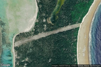
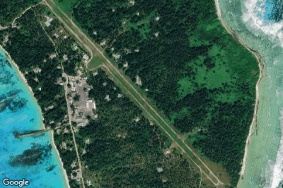
#4 Rongelap Island airport at Rongelap Island (Marshall Islands) RNP MH-RNP
Altitude : 5 m = 16ft
Rongelap Island airport is located close to Rongelap Island, Rongelap at 1 km↑, Wotho at 146 km↑, Kwajalein Atoll at 224 km↑, Lae at 258 km↑, Ujae Atoll at 269 km↑, Ujae at 276 km↑,
-> Aviation weather for Rongelap Island airport
#5 Mejit Atoll airport at Mejit Atoll (Marshall Islands) MJB MH-MJB
Altitude : 2 m = 7ft
Mejit Atoll airport is located close to Mejit Atoll, Mejit at 1 km↑, Ailuk at 98 km↑, Wotje at 115 km↑, Utrik at 153 km↑, Likiep at 178 km↑, Taroa at 180 km↑,
-> Aviation weather for Mejit Atoll airport
#6 Ailuk airport at Ailuk Island (Marshall Islands) AIM MH-AIM
Altitude : 8 m = 26ft
Ailuk airport is located close to Ailuk Island, Ailuk at 0.5 km↑, Likiep at 86 km↑, Wotje at 89 km↑, Mejit at 97 km↑, Utrik at 113 km↑, Taroa at 216 km↑,
-> Aviation weather for Ailuk airport
#7 Wotho Island airport at Wotho Island (Marshall Islands) WTO MH-WTO
Altitude : 8 m = 26ft
Wotho Island airport is located close to Wotho Island, Wotho at 1.1 km↑, Ujae Atoll at 128 km↑, Ujae at 140 km↑, Lae at 142 km↑, Rongelap at 147 km↑, Kwajalein Atoll at 181 km↑,
-> Aviation weather for Wotho Island airport
#8 Likiep airport at Likiep Island (Marshall Islands) LIK MH-LIK
Altitude : 7 m = 23ft
Likiep airport is located close to Likiep Island, Likiep at 0.4 km↑, Ailuk at 86 km↑, Wotje at 110 km↑, Utrik at 167 km↑, Mejit at 178 km↑, Ebaye at 208 km↑,
-> Aviation weather for Likiep airport
#9 Wotje airport at Wotje (Marshall Islands) WTE MH-WTE
Altitude : 1 m = 3ft
Wotje airport is located close to Wotje, Wotje at 0.5 km↑, Ailuk at 89 km↑, Likiep at 110 km↑, Mejit at 114 km↑, Taroa at 137 km↑, Aur at 178 km↑,
-> Aviation weather for Wotje airport
#10 Dyess Army Air Field airport at Roi-Namur (Marshall Islands) PKRO
Altitude : 3 m = 10ft
Dyess Army Air Field airport is located close to Roi-Namur, Kwajalein Atoll at 30 km↑, Ebaye at 75 km↑, Enubuj at 76 km↑, Lib at 121 km↑, Lae at 143 km↑, Wotho at 181 km↑,
The longest runway measure : 1371 m = 4498ft
- runway 04/22 : 1371m = 4498ft
-> Aviation weather for Dyess Army Air Field airport
#11 Ebadon airport at Ebadon Island (Marshall Islands) EBN MH-EBN
#12 Elenak airport at Mejato Island (Marshall Islands) EAL
#13 Lae Island airport at Lae Island (Marshall Islands) LML MH-LML
#14 Bucholz Army Air Field airport at Kwajalein (Marshall Islands) PKWA KWA
#15 Maloelap Island airport at Maloelap Island (Marshall Islands) MAV MH-MAV
#16 Tabal Airstrip airport at Tabal Island (Marshall Islands) TBV
#17 Aur Island airport at Aur Atoll (Marshall Islands) AUL MH-AUL
#18 Majkin airport at Majkin (Marshall Islands) MJE MH-MJE
#19 Jabot airport at Ailinglapalap Atoll (Marshall Islands) JAT MH-JAT
#20 Jeh airport at Ailinglapalap Atoll (Marshall Islands) JEJ MH-JEJ
#21 Woja airport at Woja (Marshall Islands) WJA MH-WJA
#22 Tinak airport at Arno Atoll (Marshall Islands) TIC MH-TIC
#23 Majuro Atoll airport at Majuro Atoll (Marshall Islands) PKMJ MAJ
#24 Ine airport at Arno Atoll (Marshall Islands) IMI N20
#25 Mili Island airport at Mili Island (Marshall Islands) MLIP MIJ
#26 Enejit airport at Enejit Island (Marshall Islands) EJT
#27 Jaluit airport at Jabor Jaluit Atoll (Marshall Islands) UIT MH-UIT
#28 Kili airport at Kili Island (Marshall Islands) KIO Q51
#29 Namorik Atoll airport at Namorik Atoll (Marshall Islands) NDK MH-NDK
#30 Ebon airport at Ebon Atoll (Marshall Islands) EBO
Data sources
- AVWX (avwx.rest)
- Aerial maps : Google Maps (www.google.com), Microsoft Bing (www.microsoft.com) ou OpenStreetMap (www.openstreetmap.org)
