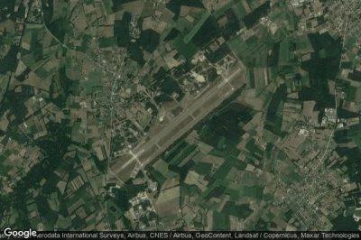
Top northern airports in Belgium.
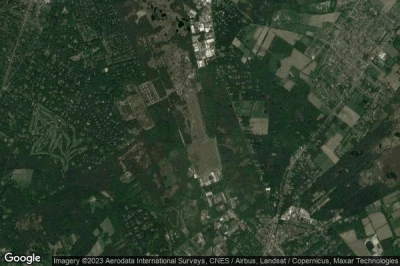
#1 Weelde Air Base airport at Weelde (Belgium) EBWE
Altitude : 32 m = 105ft
Weelde Air Base airport is located close to Weelde, Ravels at 3.3 km↑, Baarle-Hertog at 4.8 km↑, Gemeente Baarle-Nassau at 5.2 km↑, Baarle-Nassau at 6.2 km↑, Merksplas at 7.9 km↑, Poppel at 8.1 km↑,
The longest runway measure : 2980 m = 9777ft
- runway 07/25 : 2980m = 9777ft
-> Aviation weather for Weelde Air Base airport
#2 Brasschaat airport at Brasschaat (Belgium) EBBT
Altitude : 23 m = 75ft
Brasschaat airport is located close to Brasschaat, Kalmthout at 5.1 km↑, Kapellen at 5.7 km↑, Brasschaat at 5.8 km↑, Wuustwezel at 8.3 km↑, Ekeren at 9.1 km↑, Schoten at 9.9 km↑,
The longest runway measure : 900 m = 2953ft
- runway 16/34 : 900m = 2953ft
-> Aviation weather for Brasschaat airport
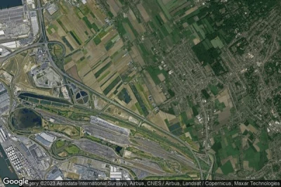
#3 Hoevenen airport at Hoevenen (Belgium) EBHN
Altitude : 3 m = 10ft
Hoevenen airport is located close to Hoevenen, Stabroek at 2.9 km↑, Kapellen at 3.5 km↑, Ekeren at 3.5 km↑, Berendrecht at 6.5 km↑, Antwerpen at 10 km↑, Zwijndrecht at 10 km↑,
-> Aviation weather for Hoevenen airport
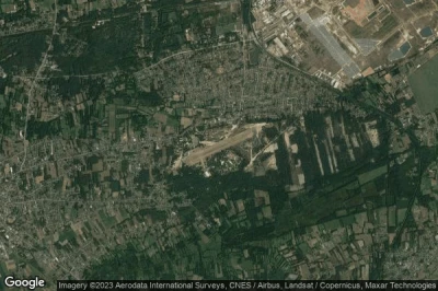
#4 Zoersel (Oostmalle) airport at Zoersel (Belgium) EBZR OBL
Altitude : 16 m = 52ft
Zoersel (Oostmalle) airport is located close to Zoersel, Borgt Driesen at 2.1 km↑, Zoersel at 2.8 km↑, Lille at 5.5 km↑, Vorselaar at 7.1 km↑, Ekstergoor at 7.9 km↑, Zandhoven at 8.2 km↑,
The longest runway measure : 2980 m = 9777ft
- runway 05/23 : 2980m = 9777ft
-> Aviation weather for Zoersel (Oostmalle) airport
#5 Ostend-Bruges International airport (Ostende-Bruges) at Ostend Bruges (Belgium) EBOS OST
Altitude : 4 m = 13ft
Ostend-Bruges International airport is located close to Ostend, Bruges, Raversijde at 0.8 km↑, Oostende at 4.4 km↑, Middelkerke at 5 km↑, Gistel at 8.5 km↑, Bredene at 8.9 km↑, Oudenburg at 9.8 km↑,
The longest runway measure : 3200 m = 10499ft
- runway 08/26 : 3200m = 10499ft
-> Aviation weather for Ostend-Bruges International airport
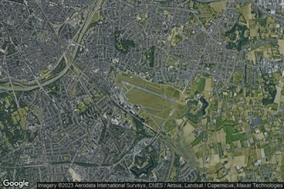
#6 Antwerp International airport (Deurne) at Antwerp (Belgium) EBAW ANR
Altitude : 12 m = 39ft
Antwerp International airport is located close to Antwerp, Waasdonk at 1 km↑, Borsbeek at 2.4 km↑, Mortsel at 2.6 km↑, Edegem at 3.8 km↑, Hove at 3.9 km↑, Boechout at 4 km↑,
The longest runway measure : 1510 m = 4954ft
- runway 11/29 : 1510m = 4954ft
-> Aviation weather for Antwerp International airport
#7 Balen Keiheuvel airport at Balen (Belgium) EBKH
Altitude : 40 m = 131ft
Balen Keiheuvel airport is located close to Balen, Balen at 3.8 km↑, Tenderlo at 5.2 km↑, Leopoldsburg at 7.4 km↑, Mol at 7.5 km↑, Molsveld at 8.4 km↑, Lommel at 8.5 km↑,
The longest runway measure : 690 m = 2264ft
- runway 07/25 : 690m = 2264ft
-> Aviation weather for Balen Keiheuvel airport
#8 Kleine Brogel Air Base airport at Kleine Brogel (Belgium) EBBL
Altitude : 61 m = 200ft
Kleine Brogel Air Base airport is located close to Kleine Brogel, Peer at 4.2 km↑, Overpelt at 6.1 km↑, Neerpelt at 6.9 km↑, Bocholt at 7.6 km↑, Bree at 9.3 km↑, Toom at 13 km↑,
The longest runway measure : 3096 m = 10157ft
- runway 05L/23R : 3096m = 10157ft
- runway 05R/23L : 2400m = 7874ft
-> Aviation weather for Kleine Brogel Air Base airport
#9 Ursel Air Base airport at Ursel (Belgium) EBUL
Altitude : 29 m = 95ft
Ursel Air Base airport is located close to Ursel, Knesselare at 1.8 km↑, Vrechem at 2.8 km↑, Zomergem at 5.9 km↑, Aalter at 6.3 km↑, Maldegem at 7.3 km↑, Eeklo at 7.4 km↑,
The longest runway measure : 2980 m = 9777ft
- runway 07/25 : 2980m = 9777ft
-> Aviation weather for Ursel Air Base airport
#10 Leopoldsburg airport at Leopoldsburg (Belgium) EBLE
Altitude : 63 m = 207ft
Leopoldsburg airport is located close to Leopoldsburg, Leopoldsburg at 4 km↑, Helchteren at 8.9 km↑, Heusden-Zolder at 9.2 km↑, Heusden at 9.5 km↑, Beringen at 9.7 km↑, Houthalen at 11 km↑,
-> Aviation weather for Leopoldsburg airport
#11 Koksijde Air Base airport at Koksijde (Belgium) EBFN
#12 Genk Zwartberg airport at Genk (Belgium) EBZW
#13 Schaffen airport at Diest (Belgium) EBDT
#14 Hasselt airport at Hasselt (Belgium) EBZH
#15 Bruxelle Grimbergen airport at Grimbergen (Belgium) EBGB
#16 Zutendaal Mil airport at Zutendaal (Belgium) EBSL
#17 Melsbroek Air Base airport at Brussels (Belgium) EBMB
#18 Brussels airport at Brussels (Belgium) EBBR BRU
#19 Moorsele airport at Courtrai (Belgium) EBMO
#20 Wevelgem airport (Flanders International Courtrai) at Kortrijk (Belgium) EBKT KJK
#21 Brustem Sint Truiden airport at Sint Truiden (Belgium) EBST
#22 Goetsenhoven airport at Tienen (Belgium) EBTN
#23 Beauvechain Air Base airport at Beauvechain (Belgium) EBBE
#24 Overboelare airport at Geraardsbergen (Belgium) EBGG
#25 Amougies airport at Mont-de-l'Enclus (Belgium) EBAM
#26 Liège airport at Liège (Belgium) EBLG LGG
#27 Chièvres Air Base airport at Chièvres (Belgium) EBCV
#28 Theux (Verviers) airport at Verviers (Belgium) EBTX
#29 Tournai Maubray airport at Tournai (Belgium) EBTY
#30 Namur-Suarlée airport at Namur (Belgium) EBNM
#31 Spa (la Sauvenière) airport at Spa (Belgium) EBSP
#32 Brussels South Charleroi airport at Charleroi Brussels (Belgium) EBCI CRL
#33 Saint-Ghislain airport at Saint Ghislain (Belgium) EBSG
#34 Büllingen airport at Büllingen (Belgium) EBBN
#35 Florennes Air Base airport at Florennes (Belgium) EBFS
#36 Cerfontaine airport at Cerfontaine (Belgium) EBCF
#37 Saint Hubert airport at Saint Hubert (Belgium) EBSH
#38 Saint Hubert Air Base airport at Saint Hubert (Belgium) EBSU
#39 Jehonville Air Base airport at Bertrix (Belgium) EBBX
Data sources
- AVWX (avwx.rest)
- Aerial maps : Google Maps (www.google.com), Microsoft Bing (www.microsoft.com) ou OpenStreetMap (www.openstreetmap.org)

