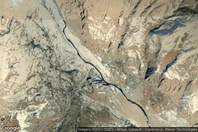
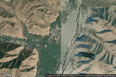
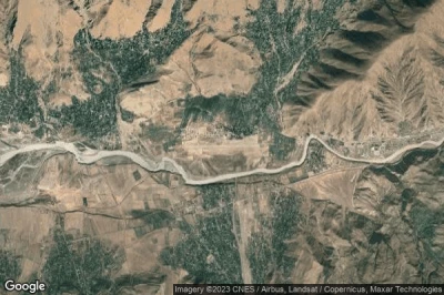
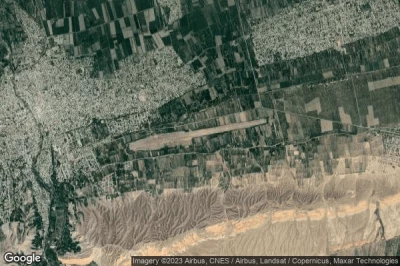
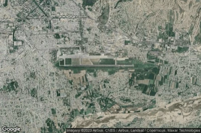
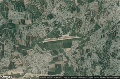
Aeropuertos en las mayores altitudes, ubicados en la montaña o en la sierra. Una gran altitud que rima con la caída de la presión atmosférica que aumenta la distancia de rodaje para permitir el despegue de los aviones y, por lo tanto, requiere una pista más larga que en altitudes más bajas. en Tayikistán.
#1 aeropuerto Murghab a Murghab (Tayikistán) TJ-UT44
Altitud : 3646 m = 11962ft
aeropuerto Murghab se encuentra cerca de Murghab, Murghob a 5.5 km↑, Viloyati Mukhtori Kŭhistoni Badakhshon a 92 km↑, Khandud a 204 km↑, Aliabad a 216 km↑, Barishal a 216 km↑, Rushon a 218 km↑,
-> tiempo de aviación para el aeropuerto del Murghab
#2 aeropuerto Ishkoshim Regional a Ishkoshim (Tayikistán) TJ-0008
Altitud : 2498 m = 8196ft
aeropuerto Ishkoshim Regional se encuentra cerca de Ishkoshim, Ishqoshim a 1.7 km↑, Ashkasham a 7.8 km↑, Zaybak a 32 km↑, Wilāyat-e Badakhshān a 36 km↑, Parūkh a 42 km↑, Chakaran a 51 km↑,
-> tiempo de aviación para el aeropuerto del Ishkoshim Regional
#3 aeropuerto Khorog a Khorog (Tayikistán) UT1C
Altitud : 2042 m = 6699ft
aeropuerto Khorog se encuentra cerca de Khorog, Khorugh a 3.8 km↑, Roshtqala a 39 km↑, Rushon a 49 km↑, Chakaran a 77 km↑, Baharak a 77 km↑, Pas Pul a 79 km↑,
-> tiempo de aviación para el aeropuerto del Khorog
#4 aeropuerto Dzhirgatal a Dzhirgatal (Tayikistán) TJ-0001
Altitud : 1788 m = 5866ft
aeropuerto Dzhirgatal se encuentra cerca de Dzhirgatal, Karakenja a 27 km↑, Batken Oblasty a 70 km↑, Rasht a 75 km↑, Khaydarkan a 81 km↑, Kevrun a 88 km↑, Vorukh a 88 km↑,
-> tiempo de aviación para el aeropuerto del Dzhirgatal
#5 aeropuerto Ayni a Ayni (Tayikistán) TJ-0003
Altitud : 1419 m = 4656ft
aeropuerto Ayni se encuentra cerca de Ayni, Ayni a 1.8 km↑, Shahriston a 48 km↑, Zomin a 63 km↑, Mehron a 66 km↑, Istaravshan a 70 km↑, Tagob a 71 km↑,
-> tiempo de aviación para el aeropuerto del Ayni
#6 aeropuerto Garm a Garm (Tayikistán) TJ-0005
Altitud : 1305 m = 4281ft
aeropuerto Garm se encuentra cerca de Garm, Rasht a 7.8 km↑, Novobod a 12 km↑, Darband a 32 km↑, Roghun a 44 km↑, Obigarm a 60 km↑, Qalaikhumb a 75 km↑,
-> tiempo de aviación para el aeropuerto del Garm
#7 aeropuerto Penjikent a Panjakent (Tayikistán) TJ-0004
Altitud : 1036 m = 3399ft
aeropuerto Penjikent se encuentra cerca de Panjakent, Panjakent a 1.5 km↑, Urgut a 32 km↑, Bulungur a 42 km↑, Jomboy a 50 km↑, Samarqand a 59 km↑, Matrid a 60 km↑,
-> tiempo de aviación para el aeropuerto del Penjikent
#8 aeropuerto Isfara a Isfara (Tayikistán) UT1A
Altitud : 858 m = 2815ft
aeropuerto Isfara se encuentra cerca de Isfara, Isfara a 3.6 km↑, Shurob a 13 km↑, Neftobod a 13 km↑, Batken a 15 km↑, Kim a 19 km↑, Konibodom a 26 km↑,
-> tiempo de aviación para el aeropuerto del Isfara
#9 aeropuerto Dushanbe a Dushanbe (Tayikistán) UTDD DYU
Altitud : 785 m = 2575ft
aeropuerto Dushanbe se encuentra cerca de Dushanbe, Khalkadzhar a 1.4 km↑, Yuzhnyy a 3.6 km↑, Besh-Tepa a 3.8 km↑, Dushanbe a 4.3 km↑, Boshkengash a 8.8 km↑, Vahdat a 16 km↑,
La medida de la pista más larga : 3100 m = 10171ft
- pista 09/27 : 3100m = 10171ft
-> tiempo de aviación para el aeropuerto del Dushanbe
#10 aeropuerto Gissar Air Base a Dushanbe (Tayikistán) TJ-UT45
Altitud : 725 m = 2379ft
aeropuerto Gissar Air Base se encuentra cerca de Dushanbe, Hisor a 7.5 km↑, Besh-Tepa a 9.9 km↑, Yuzhnyy a 11 km↑, Dushanbe a 11 km↑, Hisor a 11 km↑, Boshkengash a 13 km↑,
-> tiempo de aviación para el aeropuerto del Gissar Air Base
#11 aeropuerto Kulob a Kulyab (Tayikistán) UTDK TJU
#12 aeropuerto Danghara a Danghara (Tayikistán) TJ-0007
#13 aeropuerto Moskovskiy Pyandzh a Ak-Mazar (Tayikistán) UT1B
#14 aeropuerto Kanibadam a Kanibadam (Tayikistán) TJ-0009
#15 aeropuerto Qurghonteppa International a Kurgan-Tyube (Tayikistán) UTDT KQT
#16 aeropuerto Farkhor Air Base a Parkhar (Tayikistán) TJ-UT46
#17 aeropuerto Khudzhand a Khudzhand (Tayikistán) UTDL LBD
#18 aeropuerto Dusti a Dusti (Tayikistán) TJ-0002
#19 aeropuerto Panj a Panj (Tayikistán) TJ-0006
Fuentes de datos
- AVWX (avwx.rest)
- Vista aérea : Google Maps (www.google.com), Microsoft Bing (www.microsoft.com) ou OpenStreetMap (www.openstreetmap.org)

