Airports at the highest altitudes, located in the mountains or on the highlands. A high altitude which rhymes with the drop in atmospheric pressure which increases the taxiing distance to allow planes to take off and therefore requires a longer runway than at lower altitudes. in Qatar.
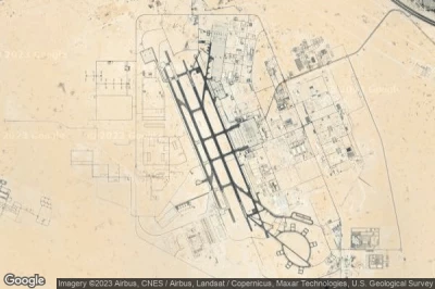
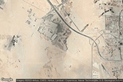
#1 Al Udeid Air Base airport at Ar Rayyan (Qatar) OTBH XJD
Altitude : 40 m = 131ft
Al Udeid Air Base airport is located close to Ar Rayyan, Mukaynis at 9.7 km↑, Ar Rayyan at 22 km↑, Al Wukayr at 23 km↑, Baladīyat ad Dawḩah at 24 km↑, Baladīyat ar Rayyān at 28 km↑, Nu‘ayjah at 29 km↑,
The longest runway measure : 3750 m = 12303ft
- runway 16/34 : 3750m = 12303ft
-> Aviation weather for Al Udeid Air Base airport
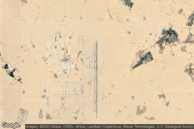
#2 Umm Garn airport at Rawdat Hawtan (Qatar) QA-0012
Altitude : 34 m = 112ft
Umm Garn airport is located close to Rawdat Hawtan, Baladīyat al Khawr wa adh Dhakhīrah at 2.4 km↑, Al Ghuwayriyah at 8.7 km↑, Al Khawr at 23 km↑, Al Jumayliyah at 26 km↑, Az Zaayin at 28 km↑, Fuwayrit at 30 km↑,
-> Aviation weather for Umm Garn airport
#3 Dukhan / Tamim Airbase airport at Dukhan (Qatar) QA-0001
Altitude : 27 m = 89ft
Dukhan / Tamim Airbase airport is located close to Dukhan, Al Jumayliyah at 18 km↑, Dukhan at 22 km↑, Ash Shahaniyah at 25 km↑, State of Qatar at 25 km↑, Baladīyat ar Rayyān at 30 km↑, Umm Bab at 34 km↑,
-> Aviation weather for Dukhan / Tamim Airbase airport
#4 Umm Al-Shokhot airport at Al-Shahaniya (Qatar) OT62
Altitude : 12 m = 39ft
Umm Al-Shokhot airport is located close to Al-Shahaniya, Baladīyat al Khawr wa adh Dhakhīrah at 8.7 km↑, Al Khawr at 14 km↑, Az Zaayin at 18 km↑, Al Ghuwayriyah at 19 km↑, Baladīyat az̧ Z̧a‘āyin at 22 km↑, State of Qatar at 25 km↑,
The longest runway measure : 500 m = 1640ft
- runway 16/34 : 500m = 1640ft
-> Aviation weather for Umm Al-Shokhot airport
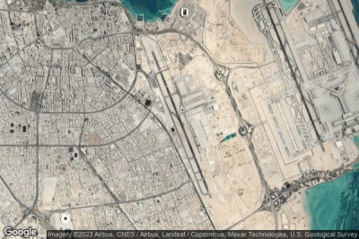
#5 Doha International airport at Doha (Qatar) OTBD DIA
Altitude : 11 m = 36ft
Doha International airport is located close to Doha, Nu‘ayjah at 1.1 km↑, Umm Ghuwaylīnah at 2.5 km↑, Al Jasrah at 4.2 km↑, Doha at 4.3 km↑, Baladīyat ad Dawḩah at 6.7 km↑, Al Wakrah at 11 km↑,
The longest runway measure : 4572 m = 15000ft
- runway 15/33 : 4572m = 15000ft
-> Aviation weather for Doha International airport
#6 Hamad International airport (New Doha) at Doha (Qatar) OTHH DOH
Altitude : 4 m = 13ft
Hamad International airport is located close to Doha, Nu‘ayjah at 5.4 km↑, Umm Ghuwaylīnah at 6.1 km↑, Al Jasrah at 7.6 km↑, Doha at 7.7 km↑, Baladīyat ad Dawḩah at 11 km↑, Al Wakrah at 11 km↑,
Hamad International Airport is the only international airport in the State of Qatar. Located south of its capital, Doha, it replaced the former Doha International Airport as the main airport in Qatar. It has one of the longest tracks in the world because the temperature is very high and the traffic of jumbo jets is very developed.
The longest runway measure : 4850 m = 15912ft
- runway 16R/34L : 4250m = 13944ft
- runway 16L/34R : 4850m = 15912ft
-> Aviation weather for Hamad International airport
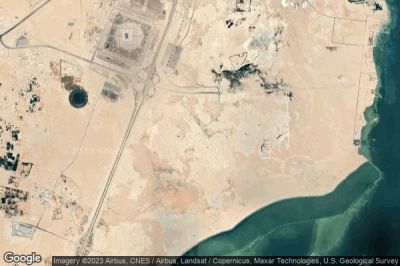
#7 Al Khawr airport at Al Khawr (Qatar) OTBK
Altitude : 3 m = 10ft
Al Khawr airport is located close to Al Khawr, Al Khawr at 6 km↑, Az Zaayin at 6.3 km↑, Baladīyat az̧ Z̧a‘āyin at 14 km↑, Al Wusayl at 15 km↑, Umm Salal Ali at 21 km↑, Baladīyat al Khawr wa adh Dhakhīrah at 24 km↑,
The longest runway measure : 1600 m = 5249ft
- runway 14/32 : 1600m = 5249ft
-> Aviation weather for Al Khawr airport
#8 Mesaleed airport at Mesaleed (Qatar) QA-0009
Mesaleed airport is located close to Mesaleed, Al Wukayr at 18 km↑, Al Wakrah at 23 km↑, Baladīyat al Wakrah at 23 km↑, Baladīyat ad Dawḩah at 29 km↑, Nu‘ayjah at 30 km↑, Mukaynis at 32 km↑,
-> Aviation weather for Mesaleed airport
Data sources
- AVWX (avwx.rest)
- Aerial maps : Google Maps (www.google.com), Microsoft Bing (www.microsoft.com) ou OpenStreetMap (www.openstreetmap.org)
