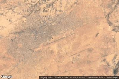
Airports at the highest altitudes, located in the mountains or on the highlands. A high altitude which rhymes with the drop in atmospheric pressure which increases the taxiing distance to allow planes to take off and therefore requires a longer runway than at lower altitudes. in Niger.
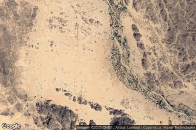
#1 Kourou Arkenné airport at Toummo (Niger) NE-0002
Altitude : 661 m = 2169ft
Kourou Arkenné airport is located close to Toummo, Sha‘bīyat Murzuq at 305 km↑, Serdégé at 348 km↑, Murzuq at 349 km↑, Aozou at 365 km↑, Zouar at 366 km↑, Libya at 390 km↑,
-> Aviation weather for Kourou Arkenné airport
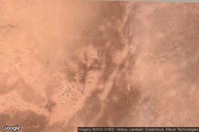
#2 Iferouane airport at Iferouane (Niger) DRZI
Altitude : 659 m = 2162ft
Iferouane airport is located close to Iferouane, Arlit at 114 km↑, Agadez at 207 km↑, Alaghsas at 232 km↑, Sabon Gari at 237 km↑, Agadez at 237 km↑, Assamakka at 277 km↑,
The longest runway measure : 1353 m = 4439ft
- runway 01/19 : 1353m = 4439ft
-> Aviation weather for Iferouane airport
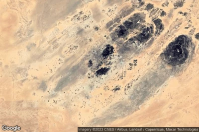
#3 Madama Military Base airport at Fort Madama (Niger) NE-0003
Altitude : 551 m = 1808ft
Madama Military Base airport is located close to Fort Madama, Zouar at 341 km↑, Serdégé at 355 km↑, Bilma at 371 km↑, Aozou at 390 km↑, Sha‘bīyat Murzuq at 405 km↑, Agadez at 430 km↑,
-> Aviation weather for Madama Military Base airport
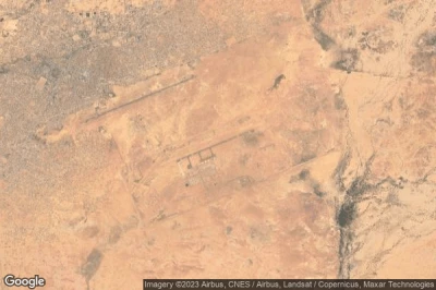
#4 Tanout airport at Tanout (Niger) DRZT
Altitude : 534 m = 1752ft
Tanout airport is located close to Tanout, Tanout at 0.2 km↑, Zinder at 130 km↑, Kaché-ni at 133 km↑, Mirya at 143 km↑, Tessaoua at 166 km↑, Zinder at 173 km↑,
-> Aviation weather for Tanout airport
#5 Bilma airport at Bilma (Niger) DRRI
Altitude : 523 m = 1716ft
Bilma airport is located close to Bilma, Bilma at 0.3 km↑, Agadez at 304 km↑, Diffa at 305 km↑, Zouar at 426 km↑, Zinder at 484 km↑, Nguigmi at 494 km↑,
-> Aviation weather for Bilma airport
#6 Niger Air Base 201 airport at Agadez (Niger) NE-0001
Altitude : 508 m = 1667ft
Niger Air Base 201 airport is located close to Agadez, Sabon Gari at 2.9 km↑, Agadez at 3.5 km↑, Alaghsas at 7 km↑, Arlit at 209 km↑, Tanout at 240 km↑, Abalak at 250 km↑,
-> Aviation weather for Niger Air Base 201 airport
#7 Mano Dayak International airport at Agadez (Niger) DRZA AJY
Altitude : 505 m = 1657ft
Mano Dayak International airport is located close to Agadez, Sabon Gari at 0.9 km↑, Agadez at 1.3 km↑, Alaghsas at 6.1 km↑, Arlit at 207 km↑, Tanout at 241 km↑, Abalak at 249 km↑,
The longest runway measure : 3000 m = 9843ft
- runway 07/25 : 3000m = 9843ft
-> Aviation weather for Mano Dayak International airport
#8 Zinder airport at Zinder (Niger) DRZR ZND
Altitude : 462 m = 1516ft
Zinder airport is located close to Zinder, Kaché-ni at 1.1 km↑, Zinder at 3.2 km↑, Mirya at 20 km↑, Matamey at 68 km↑, Magaria at 87 km↑, Zango at 97 km↑,
The longest runway measure : 1825 m = 5988ft
- runway 05/23 : 1825m = 5988ft
-> Aviation weather for Zinder airport
#9 Goure airport at Goure (Niger) DRZG
Altitude : 457 m = 1499ft
Goure airport is located close to Goure, Goure at 0.5 km↑, Kaygamari at 45 km↑, Matsena at 97 km↑, Kumagunnam at 100 km↑, Zinder at 116 km↑, Nguru at 124 km↑,
-> Aviation weather for Goure airport
#10 Arlit airport at Arlit (Niger) DRZL RLT
Altitude : 440 m = 1444ft
Arlit airport is located close to Arlit, Arlit at 6.3 km↑, Assamakka at 177 km↑, Alaghsas at 209 km↑, Agadez at 213 km↑, Sabon Gari at 213 km↑, Agadez at 321 km↑,
-> Aviation weather for Arlit airport
#11 Tessaoua airport at Tessaoua (Niger) DRRA
#12 Fachi airport at Fachi (Niger) NE-0004
#13 Dirkou airport at (Niger) DRZD
#14 Tahoua airport at Tahoua (Niger) DRRT THZ
#15 Maradi airport at Maradi (Niger) DRRM MFQ
#16 Diffa airport at Diffa (Niger) DRZF
#17 N'Guigmi airport at N'Guigmi (Niger) DRZN
#18 Dogondoutchi airport at Dogondoutchi (Niger) DRRC
#19 Maine-Soroa airport at Maine-Soroa (Niger) DRZM
#20 Ouallam airport at Ouallam (Niger) DRRU
#21 Tera airport at Tera (Niger) DRRE
#22 Dosso airport at Dosso (Niger) DRRD
#23 Diori Hamani International airport (Base aérienne Niamey BA101) at Niamey (Niger) DRRN NIM
#24 La Tapoa airport at La Tapoa (Niger) DRRP
#25 Tillabery airport at Tillabery (Niger) DRRL
#26 Gaya airport at Gaya (Niger) DRRG
Data sources
- AVWX (avwx.rest)
- Aerial maps : Google Maps (www.google.com), Microsoft Bing (www.microsoft.com) ou OpenStreetMap (www.openstreetmap.org)

