Airports at the highest altitudes, located in the mountains or on the highlands. A high altitude which rhymes with the drop in atmospheric pressure which increases the taxiing distance to allow planes to take off and therefore requires a longer runway than at lower altitudes. in Malawi.
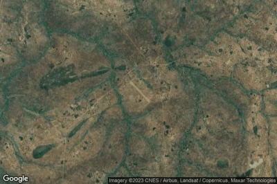
#1 Chelinda Malawi airport at (Malawi) FWCD CEH
Altitude : 2365 m = 7759ft
Chelinda Malawi airport is located close to Rumphi District at 28 km↑, Livingstonia at 34 km↑, Karonga District at 50 km↑, Rumphi at 52 km↑, Karonga at 70 km↑, Manda at 86 km↑,
-> Aviation weather for Chelinda Malawi airport
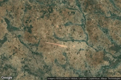
#2 Mzimba airport at Mzimba (Malawi) FWMZ
Altitude : 1353 m = 4439ft
Mzimba airport is located close to Mzimba, Mzimba at 2.6 km↑, Mzimba District at 3.3 km↑, Mugumbani Chipeta at 47 km↑, Katoto at 64 km↑, Mzuzu at 64 km↑, Ngwata at 64 km↑,
-> Aviation weather for Mzimba airport
#3 Ntchisi airport at Ntchisi (Malawi) FWCS
Altitude : 1311 m = 4301ft
Ntchisi airport is located close to Ntchisi, Ntchisi at 18 km↑, Mponela at 22 km↑, Dowa District at 25 km↑, Dowa at 32 km↑, Kamlembo at 46 km↑, Nkhongue at 46 km↑,
-> Aviation weather for Ntchisi airport
#4 Chitipa airport at Chitipa (Malawi) FWCT
Altitude : 1301 m = 4268ft
Chitipa airport is located close to Chitipa, Chitipa at 0.4 km↑, Itumba at 35 km↑, Ilembo at 52 km↑, Katumba at 65 km↑, Kyela at 65 km↑, Tukuyu at 65 km↑,
-> Aviation weather for Chitipa airport
#5 Mzuzu airport at Mzuzu (Malawi) FWUU ZZU
Altitude : 1254 m = 4114ft
Mzuzu airport is located close to Mzuzu, Katoto at 1.6 km↑, Mzuzu at 2.5 km↑, Nkhata Bay at 35 km↑, Rumphi at 50 km↑, Mzimba District at 63 km↑, Mzimba at 68 km↑,
The longest runway measure : 1308 m = 4291ft
- runway 17/35 : 1308m = 4291ft
-> Aviation weather for Mzuzu airport
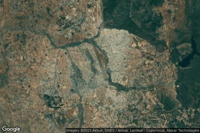
#6 Lilongwe International airport at Lilongwe (Malawi) FWKI LLW
Altitude : 1230 m = 4035ft
Lilongwe International airport is located close to Lilongwe, Kamlembo at 1.1 km↑, Lilongwe at 20 km↑, Dowa District at 21 km↑, Nchesi at 22 km↑, Dowa at 23 km↑, Lilongwe District at 28 km↑,
The longest runway measure : 3540 m = 11614ft
- runway 14/32 : 3540m = 11614ft
-> Aviation weather for Lilongwe International airport
#7 Mchinji airport at Mchinji (Malawi) FWMC
Altitude : 1189 m = 3901ft
Mchinji airport is located close to Mchinji, Mchinji at 2.1 km↑, Mchinji District at 20 km↑, Chipata at 33 km↑, Masupe at 45 km↑, Chadiza at 58 km↑, Mjudzi at 66 km↑,
-> Aviation weather for Mchinji airport
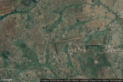
#8 Old Lilongwe airport at Lilongwe (Malawi) FWLE
Altitude : 1134 m = 3720ft
Old Lilongwe airport is located close to Lilongwe, Lilongwe District at 6.3 km↑, Nchesi at 9 km↑, Lilongwe at 9.2 km↑, Kamlembo at 22 km↑, Dowa District at 43 km↑, Dowa at 43 km↑,
The longest runway measure : 1407 m = 4616ft
- runway 17/35 : 1407m = 4616ft
- runway 09/27 : 1360m = 4462ft
-> Aviation weather for Old Lilongwe airport
#9 Kasungu airport at Kasungu (Malawi) FWKG KBQ
Altitude : 1058 m = 3471ft
Kasungu airport is located close to Kasungu, Kasungu at 2.6 km↑, Kasungu District at 5.9 km↑, Nkhongue at 55 km↑, Mjudzi at 63 km↑, Mponela at 65 km↑, Nkhotakota District at 71 km↑,
The longest runway measure : 1200 m = 3937ft
- runway 08/26 : 1200m = 3937ft
-> Aviation weather for Kasungu airport
#10 Kasungu Lifupa airport at Lifupa (Malawi) FWLP
Altitude : 1014 m = 3327ft
Kasungu Lifupa airport is located close to Lifupa, Kasungu District at 29 km↑, Kasungu at 36 km↑, Nkhongue at 61 km↑, Mjudzi at 68 km↑, Mchinji District at 80 km↑, Mponela at 83 km↑,
-> Aviation weather for Kasungu Lifupa airport
#11 Zomba airport at Zomba (Malawi) FWZA
#12 Chileka International airport at Blantyre (Malawi) FWCL BLZ
#13 Karonga airport at Karonga (Malawi) FWKA KGJ
#14 Mtakatata airport at Mtakatata (Malawi) FWTK
#15 Nkhota Kota airport at Nkhota Kota (Malawi) FWKK
#16 Salima airport at Salima (Malawi) FWSM LMB
#17 Chintheche airport at Chintheche (Malawi) MW-0001
#18 Chilumba Prv airport at Chilumba (Malawi) FWCB
#19 Dwangwa airport at Dwangwa (Malawi) FWDW DWA
#20 Likoma airport at Likoma Island (Malawi) FWLK LIX
#21 Mvuu Camp airport at Liwonde National Park (Malawi) VUU
#22 Club Makokola airport at Club Makokola (Malawi) FWCM CMK
#23 Monkey Bay airport at Monkey Bay (Malawi) FWMY MYZ
#24 Mangochi airport at Mangochi (Malawi) FWMG MAI
#25 Ngabu airport at Ngabu (Malawi) FWNB
#26 Bangula airport at Bangula (Malawi) FWBG
#27 Nchalo Sucoma airport at Nchalo (Malawi) FWSU
#28 Nsanje airport at Nsanje (Malawi) FWSJ
Data sources
- AVWX (avwx.rest)
- Aerial maps : Google Maps (www.google.com), Microsoft Bing (www.microsoft.com) ou OpenStreetMap (www.openstreetmap.org)


