heliports in Virgin Islands (U.S.).
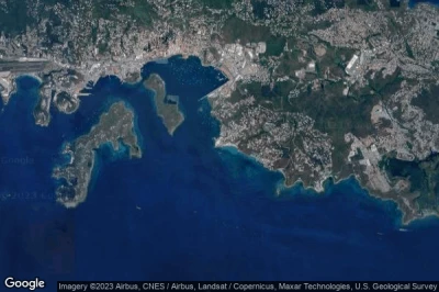
#1 St. Thomas Waterfront heliport at Charlotte Amalie (Virgin Islands (U.S.)) VI02
Altitude : 1 m = 3ft
St. Thomas Waterfront heliport is located close to Charlotte Amalie, Charlotte Amalie at 1 km↑, Saint Thomas Island at 3.4 km↑, Lovenlund at 3.8 km↑, Virgin Islands of the United States at 4.8 km↑, Cruz Bay at 15 km↑, Road Town at 35 km↑,
-> Aviation weather for St. Thomas Waterfront airport
#2 Stouffer Grand Beach Resort heliport at Charlotte Amalie (Virgin Islands (U.S.)) VI04
Altitude : 38 m = 125ft
Stouffer Grand Beach Resort heliport is located close to Charlotte Amalie, Lovenlund at 1.7 km↑, Charlotte Amalie at 2.9 km↑, Saint Thomas Island at 7.2 km↑, Virgin Islands of the United States at 8.4 km↑, Cruz Bay at 12 km↑, Road Town at 31 km↑,
-> Aviation weather for Stouffer Grand Beach Resort airport
#3 Frenchman's Reef heliport at St Thomas (Virgin Islands (U.S.)) VI03defunct airport
Altitude : 6 m = 20ft
Frenchman's Reef heliport is located close to St Thomas, Charlotte Amalie at 2.6 km↑, Lovenlund at 4.5 km↑, Saint Thomas Island at 5.1 km↑, Virgin Islands of the United States at 7.2 km↑, Cruz Bay at 14 km↑, Road Town at 34 km↑,
-> Aviation weather for Frenchman's Reef airport
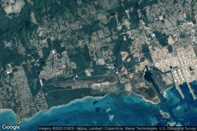
#4 DPS heliport at Frederiksted St Croix (Virgin Islands (U.S.)) VI01
Altitude : 15 m = 49ft
DPS heliport is located close to Frederiksted St Croix, Envy at 1.3 km↑, Saint Croix Island at 5.9 km↑, Saint Croix at 7 km↑, Cruz Bay at 69 km↑, Saint Thomas Island at 71 km↑, Charlotte Amalie at 72 km↑,
-> Aviation weather for DPS airport
Data sources
- AVWX (avwx.rest)
- Aerial maps : Google Maps (www.google.com), Microsoft Bing (www.microsoft.com) ou OpenStreetMap (www.openstreetmap.org)


