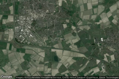
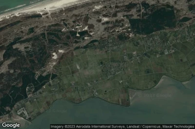
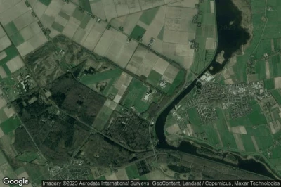
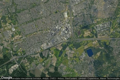
heliports in Netherlands.
#1 Buitengaats / BG-OHVS2 heliport at Gemini Wind Farm (Netherlands) EHHW
Altitude : -28 m = -92ft
Buitengaats / BG-OHVS2 heliport is located close to Gemini Wind Farm, Borkum at 66 km↑, Nes at 68 km↑, Hollum at 72 km↑, Ternaard at 73 km↑, Anjum at 74 km↑, Juist at 74 km↑,
-> Aviation weather for Buitengaats / BG-OHVS2 airport
#2 Oosterschelde Ziekenhuis heliport at Goes (Netherlands) NL-0021
Oosterschelde Ziekenhuis heliport is located close to Goes, Goes at 2.6 km↑, Gemeente Goes at 5.7 km↑, Gemeente Borsele at 8.4 km↑, Yerseke at 9.7 km↑, Provincie Zeeland at 13 km↑, Borssele at 14 km↑,
-> Aviation weather for Oosterschelde Ziekenhuis airport
#3 Terschelling heliport at Terschelling (Netherlands) NL-0076
Terschelling heliport is located close to Terschelling, West-Terschelling at 5 km↑, Oost-Vlieland at 17 km↑, Sexbierum at 23 km↑, Tzummarum at 24 km↑, Gemeente Harlingen at 25 km↑, Harlingen at 25 km↑,
-> Aviation weather for Terschelling airport
#4 Helihaven Nationaal Lucht- en Ruimtevaartlaboratorium (NLR) heliport at Marknesse (Netherlands) NL-0074
Helihaven Nationaal Lucht- en Ruimtevaartlaboratorium (NLR) heliport is located close to Marknesse, Vollenhove at 1.9 km↑, Sint Jansklooster at 5.4 km↑, Blokzijl at 5.6 km↑, Ens at 8.2 km↑, Gemeente Steenwijkerland at 11 km↑, Gemeente Noordoostpolder at 12 km↑,
-> Aviation weather for Helihaven Nationaal Lucht- en Ruimtevaartlaboratorium (NLR) airport
#5 Maxima Medisch Centrum heliport at Veldhoven (Netherlands) NL-0009
Altitude : 19 m = 62ft
Maxima Medisch Centrum heliport is located close to Veldhoven, Gemeente Veldhoven at 1.5 km↑, Veldhoven at 1.9 km↑, Gemeente Waalre at 2.6 km↑, Waalre at 2.7 km↑, Oerle at 3.9 km↑, Meerhoven at 4.2 km↑,
-> Aviation weather for Maxima Medisch Centrum airport
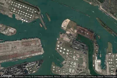
#6 Maasvlakte heliport at Rotterdam (Netherlands) EHTP
Altitude : 1 m = 3ft
Maasvlakte heliport is located close to Rotterdam, Hoek van Holland at 3.6 km↑, s-Gravenzande at 7 km↑, Gemeente Brielle at 7.8 km↑, Rugge at 7.9 km↑, Brielle at 8.1 km↑, Baakwoning at 8.5 km↑,
-> Aviation weather for Maasvlakte airport
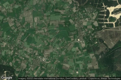
#7 HeliAir heliport at (Netherlands) NL-0051
Altitude : 20 m = 66ft
HeliAir heliport is located close to Harskamp at 1.3 km↑, Wekerom at 2 km↑, Otterlo at 3.7 km↑, Kootwijkerbroek at 5.4 km↑, Stroe at 7.4 km↑, Gemeente Ede at 11 km↑,
-> Aviation weather for HeliAir airport
#8 K13-A heliport at (Netherlands) EHJR
Altitude : 38 m = 125ft
K13-A heliport is located close to Gemeente Texel at 106 km↑, Gemeente Den Helder at 106 km↑, Den Helder at 107 km↑, Den Burg at 107 km↑, Julianadorp at 108 km↑, Friese Buurt at 109 km↑,
-> Aviation weather for K13-A airport
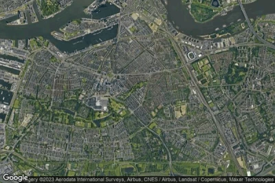
#9 Medisch Centrum Rijnmond. Locatie Zuid heliport at Rotterdam (Netherlands) NL-0020
Altitude : 1 m = 3ft
Medisch Centrum Rijnmond. Locatie Zuid heliport is located close to Rotterdam, IJsselmonde at 3.6 km↑, Barendrecht at 3.9 km↑, Delfshaven at 4 km↑, Middeldijk at 4.1 km↑, Gemeente Rotterdam at 4.3 km↑, Rotterdam at 4.4 km↑,
-> Aviation weather for Medisch Centrum Rijnmond. Locatie Zuid airport
#10 Isala Klinieken. Locatie Sophia heliport at Zwolle (Netherlands) NL-0013
Altitude : 2 m = 7ft
Isala Klinieken. Locatie Sophia heliport is located close to Zwolle, Zwolle at 2.3 km↑, Gemeente Zwolle at 2.3 km↑, Katerveer at 4.3 km↑, Hattem at 6.1 km↑, Gemeente Dalfsen at 8.4 km↑, Dalfsen at 8.7 km↑,
-> Aviation weather for Isala Klinieken. Locatie Sophia airport
#11 Vu Medisch Centrum heliport at Amsterdam (Netherlands) NL-0012
#12 Ameland heliport at Ameland (Netherlands) EHAD
#13 Viecuri Medisch Centrum Voor Noord-Limburg heliport at Venlo (Netherlands) NL-0008
#14 Universitair Medisch Centrum Utrecht heliport at Utrecht (Netherlands) NL-0015
#15 Brunssum Joint Force Command heliport at Brunssum (Netherlands) EH58
#16 Erasmus Medisch Centrum heliport at Rotterdam (Netherlands) NL-0017
#17 Rode Kruis Ziekenhuis heliport at Beverwijk (Netherlands) NL-0011
#18 Leids Universitair Medisch Centrum heliport at Leiden (Netherlands) NL-0018
#19 Ziekenhuis Rivierenland heliport at Tiel (Netherlands) NL-0005
#20 Vliehors (Shooting Range and) heliport at Vlieland (Netherlands) NL-0080
#21 Amsterdam heliport at Amsterdam (Netherlands) EHHA
#22 Vlieland heliport at Vlieland (Netherlands) EHVL
#23 Medisch Spectrum Twente heliport at Enschede (Netherlands) NL-0014
#24 IJmuiden heliport at IJmuiden (Netherlands) EHYP
#25 Air Operations Control Station Nieuw Milligen heliport at Nieuw Milligen (Netherlands) EHMC
#26 Medisch Centrum Leeuwarden. Locatie Zuid heliport at Leeuwarden (Netherlands) NL-0002
#27 Ziekenhuis Talma Sionsberg heliport at Dokkum (Netherlands) NL-0003
#28 Gavi-Kavel heliport at Den Haag (Netherlands) NL-0081defunct airport
#29 Grand Hotel Huis ter Duin heliport at Noordwijk (Netherlands) NL-0078
#30 Universitair Medisch Centrum heliport at Groningen (Netherlands) NL-0006
#31 Mc Haaglanden. Locatie Westeinde heliport at Den Haag (Netherlands) NL-0019
#32 Ziekenhuis Zeeuws-Vlaanderen. Locatie De Honte heliport at Terneuzen (Netherlands) NL-0022
#33 St. Elisabeth Ziekenhuis heliport at Tilburg (Netherlands) NL-0010
#34 Lichteiland Goeree heliport at (Netherlands) EHSC
#35 TT Circuit Assen heliport at (Netherlands) NL-0048
#36 Europlatform heliport at (Netherlands) EHSA EHSA
#37 Antonius Ziekenhuis heliport at Sneek (Netherlands) NL-0001
#38 Schiermonnikoog heliport at Schiermonnikoog (Netherlands) NL-0077
#39 Streekziekenhuis Koningin Beatrix heliport at Winterswijk (Netherlands) NL-0004
#40 Keteloog heliport at (Netherlands) NL-0047
#41 Lukkien heliport at Ede (Netherlands) NL-0025
#42 Heli Holland heliport at Emmer- Compascuum (Netherlands) NL-0032
#43 Albert Schweitzer Ziekenhuis. Locatie Amstelwijck heliport at Dordrecht (Netherlands) NL-0016
#44 Maastricht Universitair Medisch Centrum heliport at Maastricht (Netherlands) NL-0007
#45 Helihaven P. van Zutphen heliport at (Netherlands) NL-0046
#46 Eindhoven heliport at (Netherlands) NL-0045defunct airport
#47 Marnewaard heliport at Het Hogeland (Netherlands) NL-0079
#48 Eemshaven heliport at Het Hogeland (Netherlands) EHHE
Data sources
- AVWX (avwx.rest)
- Aerial maps : Google Maps (www.google.com), Microsoft Bing (www.microsoft.com) ou OpenStreetMap (www.openstreetmap.org)

