helipuertos en Birmania.
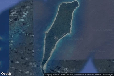
#1 helipuerto Preparis East a Cocokyun (Birmania) MM-0007
Altitud : 4 m = 13ft
helipuerto Preparis East se encuentra cerca de Cocokyun, Tingyaung a 190 km↑, Mawlamyinegyunn a 243 km↑, Pathein a 244 km↑, Bogale a 247 km↑, Wakema a 255 km↑, Pyapon a 271 km↑,
-> tiempo de aviación para el aeropuerto del Preparis East
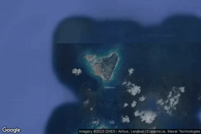
#2 helipuerto Table Island a Cocokyun (Birmania) MM-0010
Altitud : 16 m = 52ft
helipuerto Table Island se encuentra cerca de Cocokyun, Tingyaung a 271 km↑, Bamboo Flat a 285 km↑, Union Territory of Andaman and Nicobar Islands a 286 km↑, Port Blair a 288 km↑, Mawlamyinegyunn a 318 km↑, Bogale a 320 km↑,
-> tiempo de aviación para el aeropuerto del Table Island
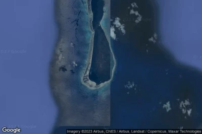
#3 helipuerto Little Coco Island a Cocokyun (Birmania) MM-0009
Altitud : 62 m = 203ft
helipuerto Little Coco Island se encuentra cerca de Cocokyun, Bamboo Flat a 260 km↑, Union Territory of Andaman and Nicobar Islands a 260 km↑, Port Blair a 262 km↑, Tingyaung a 298 km↑, Mawlamyinegyunn a 345 km↑, Bogale a 346 km↑,
-> tiempo de aviación para el aeropuerto del Little Coco Island
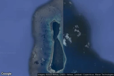
#4 helipuerto Little Coco Island North a Cocokyun (Birmania) MM-0008
Altitud : 5 m = 16ft
helipuerto Little Coco Island North se encuentra cerca de Cocokyun, Bamboo Flat a 262 km↑, Union Territory of Andaman and Nicobar Islands a 263 km↑, Port Blair a 265 km↑, Tingyaung a 296 km↑, Mawlamyinegyunn a 344 km↑, Bogale a 345 km↑,
-> tiempo de aviación para el aeropuerto del Little Coco Island North
#5 helipuerto Preparis a Cocokyun (Birmania) MM-0006
Altitud : 15 m = 49ft
helipuerto Preparis se encuentra cerca de Cocokyun, Tingyaung a 190 km↑, Mawlamyinegyunn a 244 km↑, Pathein a 244 km↑, Bogale a 247 km↑, Wakema a 255 km↑, Pyapon a 271 km↑,
-> tiempo de aviación para el aeropuerto del Preparis
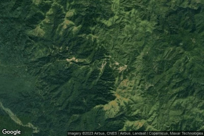
#6 helipuerto Zin Bar a Yebyu (Birmania) MM-0011
Altitud : 754 m = 2474ft
helipuerto Zin Bar se encuentra cerca de Yebyu, Thong Pha Phum a 30 km↑, Sangkhla Buri a 54 km↑, Dawei a 68 km↑, Yahaungwa a 74 km↑, Changwat Kanchanaburi a 80 km↑, Si Sawat a 82 km↑,
-> tiempo de aviación para el aeropuerto del Zin Bar
Fuentes de datos
- AVWX (avwx.rest)
- Vista aérea : Google Maps (www.google.com), Microsoft Bing (www.microsoft.com) ou OpenStreetMap (www.openstreetmap.org)
