heliports in Luxembourg.
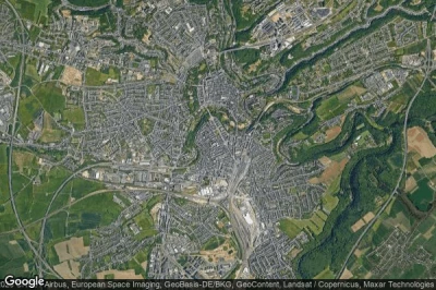
#1 Clinique Ste-Thérèse heliport at Luxembourg (Luxembourg) LU-0005
Altitude : 305 m = 1001ft
Clinique Ste-Thérèse heliport is located close to Luxembourg, Luxembourg at 0.5 km↑, Weimershof at 1.6 km↑, Bonnevoie at 1.8 km↑, Cessange at 2.2 km↑, District de Luxembourg at 3.5 km↑, Itzig at 3.9 km↑,
-> Aviation weather for Clinique Ste-Thérèse airport
#2 Ettelbruck heliport at Ettelbruck (Luxembourg) LU-0001
Altitude : 203 m = 666ft
Ettelbruck heliport is located close to Ettelbruck, Warken at 0 km↑, Erpeldange at 1.9 km↑, Erpeldange-sur-Sûre at 1.9 km↑, Ettelbruck at 2.5 km↑, Schieren at 2.7 km↑, Ingeldorf at 2.9 km↑,
-> Aviation weather for Ettelbruck airport
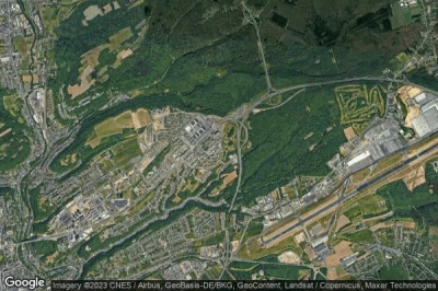
#3 Hôpital Kirchberg heliport at Luxembourg (Luxembourg) LU-0006
Altitude : 372 m = 1220ft
Hôpital Kirchberg heliport is located close to Luxembourg, Findel at 2.1 km↑, Helmsange at 3.4 km↑, Sandweiler at 3.7 km↑, Walferdange at 4.1 km↑, Weimershof at 4.1 km↑, Bereldange at 4.5 km↑,
-> Aviation weather for Hôpital Kirchberg airport
#4 Centre Hospitalier Emile Mayrisch heliport at Esch-Sur-Alzette (Luxembourg) LU-0004
Altitude : 296 m = 971ft
Centre Hospitalier Emile Mayrisch heliport is located close to Esch-Sur-Alzette, Esch-sur-Alzette at 0.6 km↑, Schifflange at 1.3 km↑, Ehlerange at 2.8 km↑, Belval at 3 km↑, Russange at 3 km↑, Mondercange at 3.6 km↑,
-> Aviation weather for Centre Hospitalier Emile Mayrisch airport
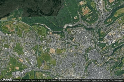
#5 Centre Hospitalier de Luxembourg heliport at Luxembourg (Luxembourg) LU-0003
Altitude : 329 m = 1079ft
Centre Hospitalier de Luxembourg heliport is located close to Luxembourg, Strassen at 2.1 km↑, Luxembourg at 3.1 km↑, Cessange at 3.3 km↑, Bertrange at 3.9 km↑, Weimershof at 4 km↑, Bonnevoie at 4.4 km↑,
-> Aviation weather for Centre Hospitalier de Luxembourg airport
Data sources
- AVWX (avwx.rest)
- Aerial maps : Google Maps (www.google.com), Microsoft Bing (www.microsoft.com) ou OpenStreetMap (www.openstreetmap.org)


