heliports in Honduras.
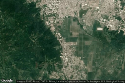
#1 Publigraficos heliport at San Pedro Sula (Honduras) MHPB
Altitude : 48 m = 157ft
Publigraficos heliport is located close to San Pedro Sula, San Pedro Sula at 5.3 km↑, Río Blanco at 5.3 km↑, Chotepe at 5.8 km↑, Armenta at 6 km↑, El Maranon at 6.6 km↑, El Zapotal del Norte at 7.7 km↑,
-> Aviation weather for Publigraficos airport
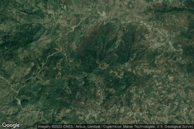
#2 Hacienda Montecristo heliport at Hacienda Montecristo (Honduras) MHMC
Altitude : 1262 m = 4140ft
Hacienda Montecristo heliport is located close to Hacienda Montecristo, Quezailica at 3.3 km↑, San Jose de Copan at 5.8 km↑, Veracruz at 6.2 km↑, Agua Caliente at 6.5 km↑, San Juan de Planes at 7.9 km↑, Dolores at 8.1 km↑,
-> Aviation weather for Hacienda Montecristo airport
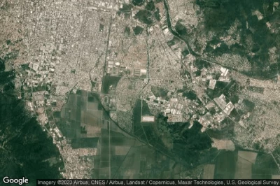
#3 Las Lomas heliport at Tegucigalpa (Honduras) MHLL
Altitude : 1040 m = 3412ft
Las Lomas heliport is located close to Tegucigalpa, Tegucigalpa at 3.7 km↑, Comayagüela at 4.7 km↑, La Burrera at 5.2 km↑, El Tablon at 5.3 km↑, El País at 6.4 km↑, Santa Lucia at 6.4 km↑,
-> Aviation weather for Las Lomas airport
#4 Coratsa heliport at San Pedro Sula (Honduras) MHHC
Altitude : 41 m = 135ft
Coratsa heliport is located close to San Pedro Sula, San Pedro Sula at 5.2 km↑, Río Blanco at 5.2 km↑, Chotepe at 6.3 km↑, Armenta at 6.7 km↑, El Zapotal del Norte at 7.7 km↑, El Milagro at 8.6 km↑,
-> Aviation weather for Coratsa airport
#5 Cochino Pequeño heliport at Cochino Pequeño Island (Honduras) MHCP
Cochino Pequeño heliport is located close to Cochino Pequeño Island, Nueva Armenia at 18 km↑, Jutiapa at 21 km↑, Sambo Creek at 25 km↑, Rio Esteban at 25 km↑, Corozal at 29 km↑, La Ceiba at 37 km↑,
-> Aviation weather for Cochino Pequeño airport
#6 Ficohsa heliport at San Pedro Sula (Honduras) HN-0005
Altitude : 75 m = 246ft
Ficohsa heliport is located close to San Pedro Sula, San Pedro Sula at 1.8 km↑, Río Blanco at 1.8 km↑, El Zapotal del Norte at 3.4 km↑, Armenta at 3.4 km↑, Pena Blanca at 4.3 km↑, Chotepe at 11 km↑,
-> Aviation weather for Ficohsa airport
Data sources
- AVWX (avwx.rest)
- Aerial maps : Google Maps (www.google.com), Microsoft Bing (www.microsoft.com) ou OpenStreetMap (www.openstreetmap.org)


