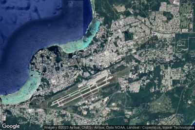
heliports in Guam.
#1 Big Eye heliport at Hagatña (Guam) HI47
Altitude : 24 m = 79ft
Big Eye heliport is located close to Hagatña, Socio at 1.9 km↑, Tamuning-Tumon-Harmon Village at 2.8 km↑, Tamuning-Tumon-Harmon Municipality at 2.8 km↑, Tamuning-Tumon-Harmon Mayors Office at 2.9 km↑, Perezville at 2.9 km↑, Barrigada Mayors Office at 3.3 km↑,
-> Aviation weather for Big Eye airport
#2 Barrigada Readiness Center heliport at Barrigada (Guam) 9OG1
Altitude : 95 m = 312ft
Barrigada Readiness Center heliport is located close to Barrigada, Barrigada Mayors Office at 1.9 km↑, Barrigada Village at 2 km↑, Socio at 3.2 km↑, Mangilao Municipality at 3.5 km↑, Mangilao Village at 3.5 km↑, Mangilao Mayors Office at 3.5 km↑,
The longest runway measure : 15 m = 49ft
- runway H1/H1 : 15m = 49ft
-> Aviation weather for Barrigada Readiness Center airport
#3 US Naval Hospital heliport at Agana Heights (Guam) GU-0003
Altitude : 60 m = 197ft
US Naval Hospital heliport is located close to Agana Heights, Hagatna at 0.9 km↑, Guam Government House at 1 km↑, Guam at 1.2 km↑, Agana Heights Village at 1.3 km↑, Agana Heights Mayors Office at 1.3 km↑, Hagåtña Municipality at 1.8 km↑,
-> Aviation weather for US Naval Hospital airport
Data sources
- AVWX (avwx.rest)
- Aerial maps : Google Maps (www.google.com), Microsoft Bing (www.microsoft.com) ou OpenStreetMap (www.openstreetmap.org)


