heliports in Belize.
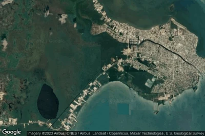
#1 Old Belize heliport at Belize City (Belize) BZ-0009
Altitude : 1 m = 3ft
Old Belize heliport is located close to Belize City, Belize City at 6.2 km↑, Ladyville at 10 km↑, Belize District at 26 km↑, Chicago at 37 km↑, Dangriga at 56 km↑, Middlesex at 57 km↑,
-> Aviation weather for Old Belize airport
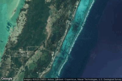
#2 Azul Resort heliport at Ambergris Caye (Belize) BZ-0012
Altitude : 3 m = 10ft
Azul Resort heliport is located close to Ambergris Caye, San Pedro at 8.8 km↑, Chicago at 45 km↑, Corozal District at 53 km↑, Belize City at 61 km↑, Ladyville at 62 km↑, Caledonia at 63 km↑,
-> Aviation weather for Azul Resort airport
#3 Guacamallo Bridge heliport at Chiquibul National Park (Belize) BZ-0013
Altitude : 357 m = 1171ft
Guacamallo Bridge heliport is located close to Chiquibul National Park, Cayo District at 14 km↑, Privassion Camp at 21 km↑, Benque Viejo del Carmen at 26 km↑, Melchor de Mencos at 26 km↑, San Ignacio at 33 km↑, Spanish Lookout at 40 km↑,
-> Aviation weather for Guacamallo Bridge airport
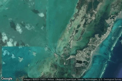
#4 Cisco Base heliport at Belize City (Belize) BZ-0010
Altitude : 1 m = 3ft
Cisco Base heliport is located close to Belize City, Belize City at 4 km↑, Ladyville at 8.7 km↑, Belize District at 28 km↑, Chicago at 34 km↑, San Pedro at 55 km↑, Dangriga at 59 km↑,
-> Aviation weather for Cisco Base airport
#5 Cayo Espanto heliport at Cayo Espanto (Belize) BZ-0011
Altitude : 2 m = 7ft
Cayo Espanto heliport is located close to Cayo Espanto, San Pedro at 3.7 km↑, Chicago at 34 km↑, Ladyville at 50 km↑, Belize City at 51 km↑, Corozal District at 51 km↑, Caledonia at 60 km↑,
-> Aviation weather for Cayo Espanto airport
Data sources
- AVWX (avwx.rest)
- Aerial maps : Google Maps (www.google.com), Microsoft Bing (www.microsoft.com) ou OpenStreetMap (www.openstreetmap.org)


