heliports in Antarctica.
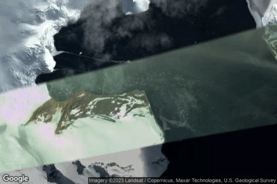
#1 Orcadas Base heliport at Laurie Island (Antarctica) SAYO
Altitude : 23 m = 75ft
Orcadas Base heliport is located close to Laurie Island, South Georgia and the South Sandwich Islands at 862 km↑, Grytviken at 869 km↑, Stanley at 1286 km↑, Mare Harbour Rancho at 1289 km↑, Rincon Grande Settlement at 1326 km↑, Falkland Islands at 1333 km↑,
-> Aviation weather for Orcadas Base airport
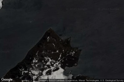
#2 Machu Picchu Base heliport at Machu Picchu Base (Antarctica) AQ-0008
Machu Picchu Base heliport is located close to Machu Picchu Base, Puerto Williams at 955 km↑, Kaiken at 981 km↑, Barrio Almirante Brown at 989 km↑, Ushuaia at 990 km↑, Río Grande at 1070 km↑, Mare Harbour Rancho at 1133 km↑,
-> Aviation weather for Machu Picchu Base airport
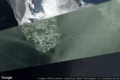
#3 Arctowsky Station heliport at Arctowsky Station (Antarctica) AQ-0010
Altitude : 2 m = 7ft
Arctowsky Station heliport is located close to Arctowsky Station, Puerto Williams at 961 km↑, Kaiken at 987 km↑, Barrio Almirante Brown at 995 km↑, Ushuaia at 996 km↑, Río Grande at 1076 km↑, Mare Harbour Rancho at 1141 km↑,
-> Aviation weather for Arctowsky Station airport
#4 Comandante Ferraz Antarctic Station heliport at Comandante Ferraz Antarctic Station (Antarctica) AQ-0009
Altitude : 6 m = 20ft
Comandante Ferraz Antarctic Station heliport is located close to Comandante Ferraz Antarctic Station, Puerto Williams at 957 km↑, Kaiken at 983 km↑, Barrio Almirante Brown at 992 km↑, Ushuaia at 992 km↑, Río Grande at 1072 km↑, Mare Harbour Rancho at 1133 km↑,
-> Aviation weather for Comandante Ferraz Antarctic Station airport
#5 Palmer Station heliport at Palmer Station (Antarctica) AQ-0006
Altitude : 1 m = 3ft
Palmer Station heliport is located close to Palmer Station, Puerto Williams at 1112 km↑, Barrio Almirante Brown at 1132 km↑, Ushuaia at 1134 km↑, Kaiken at 1152 km↑, Río Grande at 1239 km↑, Porvenir at 1324 km↑,
-> Aviation weather for Palmer Station airport
Data sources
- AVWX (avwx.rest)
- Aerial maps : Google Maps (www.google.com), Microsoft Bing (www.microsoft.com) ou OpenStreetMap (www.openstreetmap.org)


