Former airports, eaten away by urbanization or transformed into giant car parks. List of these places where planes landed. in Mauritania.
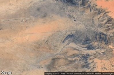
#1 Old Néma airport at Néma (Mauritania) MR-0001defunct airport
Altitude : 250 m = 820ft
Old Néma airport is located close to Néma, Nema at 3.4 km↑, Toumboudrané at 156 km↑, Sokolo at 243 km↑, Boû Demgha at 246 km↑, Ayoun el Atrous at 248 km↑, Hodh ech Chargui at 266 km↑,
-> Aviation weather for Old Néma airport
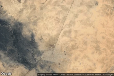
#2 NOUAKCHOTT airport at (Mauritania) GQNNdefunct airport
Altitude : 9 m = 30ft
NOUAKCHOTT airport is located close to District de Nouakchott at 41 km↑, Ksar at 42 km↑, Nouakchott at 44 km↑, Wilaya du Trarza at 98 km↑, Boutilimit at 108 km↑, Souima at 168 km↑,
The longest runway measure : 3010 m = 9875ft
- runway 05/23 : 3010m = 9875ft
-> Aviation weather for NOUAKCHOTT airport
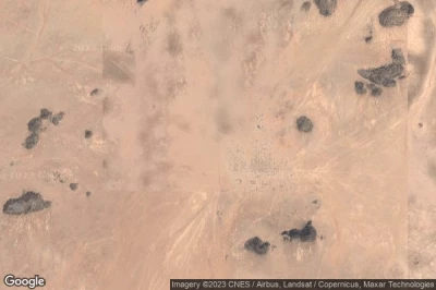
#3 Aleg airport at Aleg (Mauritania) MR-0011defunct airport
Altitude : 37 m = 121ft
Aleg airport is located close to Aleg, Aleg at 2.6 km↑, Golere at 93 km↑, Boutilimit at 99 km↑, Ndioum at 100 km↑, Kaédi at 111 km↑, Wilaya du Trarza at 119 km↑,
-> Aviation weather for Aleg airport
#4 Chinguetti airport at Chinguetti (Mauritania)defunct airport
Altitude : 541 m = 1775ft
Chinguetti airport is located close to Chinguetti, Chinguetti at 16 km↑, Atar at 68 km↑, Akjoujt at 229 km↑, Tidjikja at 239 km↑, Adrar at 242 km↑, Zouerate at 246 km↑,
-> Aviation weather for Chinguetti airport
#5 Old Bir Moghrein airport at Bir Moghrein (Mauritania) MR-0003defunct airport
Altitude : 378 m = 1240ft
Old Bir Moghrein airport is located close to Bir Moghrein, Bîr Mogreïn at 1.8 km↑, Smara at 167 km↑, Ad Dchira at 247 km↑, Laayoune / El Aaiun at 268 km↑, Zouerate at 293 km↑, Tiris Zemmour at 295 km↑,
-> Aviation weather for Old Bir Moghrein airport
#6 Bou Gara airport at Bou Gara (Mauritania) MR-0002defunct airport
Altitude : 158 m = 518ft
Bou Gara airport is located close to Bou Gara, Kiffa at 66 km↑, Hodh El Gharbi at 84 km↑, Assaba at 119 km↑, Ayoun el Atrous at 126 km↑, Boû Demgha at 129 km↑, Yélimané at 159 km↑,
-> Aviation weather for Bou Gara airport
Data sources
- AVWX (avwx.rest)
- Aerial maps : Google Maps (www.google.com), Microsoft Bing (www.microsoft.com) ou OpenStreetMap (www.openstreetmap.org)


