Airports located at the lowest altitudes, especially below sea level in Saint Vincent and the Grenadines.
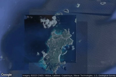
#1 Mustique airport at Mustique Island (Saint Vincent and the Grenadines) TVSM MQS
Altitude : 2 m = 7ft
Mustique airport is located close to Mustique Island, Dovers at 0.6 km↑, Grenadines at 9.7 km↑, Paget Farm at 13 km↑, Port Elizabeth at 15 km↑, Saint Vincent and the Grenadines at 22 km↑, Arnos Vale at 27 km↑,
The longest runway measure : 992 m = 3255ft
- runway 09/27 : 992m = 3255ft
-> Aviation weather for Mustique airport
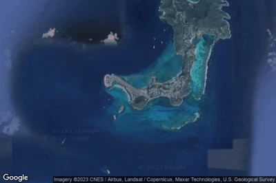
#2 Canouan airport at Canouan (Saint Vincent and the Grenadines) TVSC CIW
Altitude : 3 m = 10ft
Canouan airport is located close to Canouan, Charlestown at 2 km↑, Clifton at 15 km↑, Grenadines at 18 km↑, Dovers at 27 km↑, Paget Farm at 33 km↑, Port Elizabeth at 37 km↑,
The longest runway measure : 1798 m = 5899ft
- runway 13/31 : 1798m = 5899ft
-> Aviation weather for Canouan airport
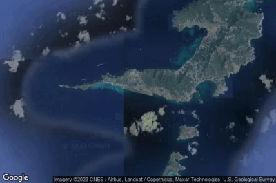
#3 J F Mitchell airport at Bequia (Saint Vincent and the Grenadines) TVSB BQU
Altitude : 5 m = 16ft
J F Mitchell airport is located close to Bequia, Paget Farm at 1.4 km↑, Port Elizabeth at 4.4 km↑, Saint Vincent and the Grenadines at 13 km↑, Dovers at 14 km↑, Grenadines at 17 km↑, Arnos Vale at 17 km↑,
The longest runway measure : 1100 m = 3609ft
- runway 12/30 : 1100m = 3609ft
-> Aviation weather for J F Mitchell airport
#4 Union Island International airport at Union Island (Saint Vincent and the Grenadines) TVSU UNI
Altitude : 5 m = 16ft
Union Island International airport is located close to Union Island, Clifton at 1.9 km↑, Charlestown at 13 km↑, Grenadines at 31 km↑, Dovers at 40 km↑, Paget Farm at 46 km↑, Sauteurs at 49 km↑,
-> Aviation weather for Union Island International airport
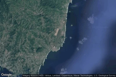
#5 Argyle International airport at Kingstown (Saint Vincent and the Grenadines) TVSA SVD
Altitude : 41 m = 135ft
Argyle International airport is located close to Kingstown, Biabou at 5.3 km↑, Parish of Saint George at 5.5 km↑, Arnos Vale at 6 km↑, Greathead at 7.8 km↑, Kingstown at 8.1 km↑, Redemption at 8.7 km↑,
The longest runway measure : 2743 m = 8999ft
- runway 04/22 : 2743m = 8999ft
-> Aviation weather for Argyle International airport
Data sources
- AVWX (avwx.rest)
- Aerial maps : Google Maps (www.google.com), Microsoft Bing (www.microsoft.com) ou OpenStreetMap (www.openstreetmap.org)


