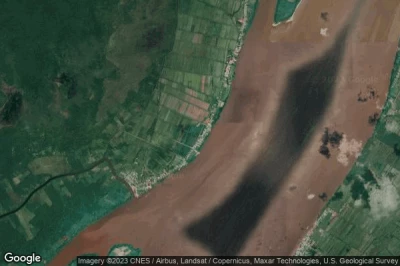
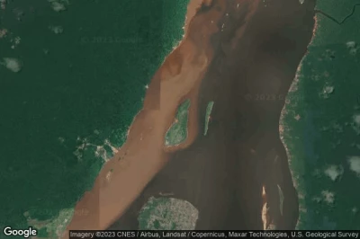
Airports located at the lowest altitudes, especially below sea level in Guyana.
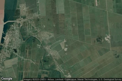
#1 Krishna Sankar airport at Anna Regina (Guyana) GY-0002
Altitude : 1 m = 3ft
Krishna Sankar airport is located close to Anna Regina, Anna Regina at 5.8 km↑, Parika at 53 km↑, Vreed-en-Hoop at 64 km↑, Alexanderville at 65 km↑, Georgetown at 67 km↑, Courida Park at 70 km↑,
-> Aviation weather for Krishna Sankar airport
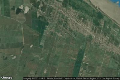
#2 New Amsterdam airport at New Amsterdam (Guyana) SYNA QSX
Altitude : 1 m = 3ft
New Amsterdam airport is located close to New Amsterdam, New Amsterdam at 4.7 km↑, Rosignol at 7.8 km↑, Fort Wellington at 22 km↑, Mahaicony Village at 50 km↑, Skeldon at 55 km↑, Nieuw Nickerie at 63 km↑,
-> Aviation weather for New Amsterdam airport
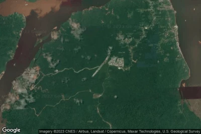
#3 Bartica A airport at Bartica (Guyana) SYBT GFO
Altitude : 1 m = 3ft
Bartica A airport is located close to Bartica, Bartica at 6.2 km↑, Agricola Village at 55 km↑, Linden at 56 km↑, Parika at 59 km↑, Saint Cuthberts Mission at 63 km↑, Vreed-en-Hoop at 71 km↑,
-> Aviation weather for Bartica A airport
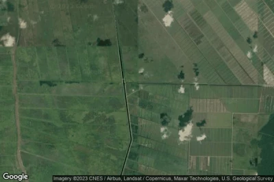
#4 Fort Wellington airport at Fort Wellington (Guyana) GY-0004
Altitude : 2 m = 7ft
Fort Wellington airport is located close to Fort Wellington, Fort Wellington at 2.7 km↑, Rosignol at 13 km↑, New Amsterdam at 17 km↑, Mahaicony Village at 29 km↑, Cane Grove at 43 km↑, Mahaica Village at 48 km↑,
-> Aviation weather for Fort Wellington airport
#5 Von Better airport at (Guyana) SYVB
Altitude : 2 m = 7ft
Von Better airport is located close to Rosignol at 13 km↑, New Amsterdam at 15 km↑, Fort Wellington at 17 km↑, Mahaicony Village at 36 km↑, Cane Grove at 50 km↑, Saint Cuthberts Mission at 50 km↑,
-> Aviation weather for Von Better airport
#6 Neville airport at Joppa-Macedonia (Guyana) GY-0006
Altitude : 3 m = 10ft
Neville airport is located close to Joppa-Macedonia, Skeldon at 32 km↑, New Amsterdam at 34 km↑, Nieuw Nickerie at 35 km↑, Rosignol at 37 km↑, Fort Wellington at 50 km↑, Distrikt Nickerie at 69 km↑,
-> Aviation weather for Neville airport
#7 Albion airport at Albion (Guyana) SYAL
Altitude : 3 m = 10ft
Albion airport is located close to Albion, New Amsterdam at 15 km↑, Rosignol at 17 km↑, Fort Wellington at 30 km↑, Skeldon at 49 km↑, Nieuw Nickerie at 55 km↑, Mahaicony Village at 57 km↑,
-> Aviation weather for Albion airport
#8 Spring Garden Airstrip airport at Supenaam (Guyana) GY-0003
Altitude : 3 m = 10ft
Spring Garden Airstrip airport is located close to Supenaam, Parika at 18 km↑, Anna Regina at 31 km↑, Vreed-en-Hoop at 39 km↑, Alexanderville at 42 km↑, Georgetown at 43 km↑, Courida Park at 48 km↑,
-> Aviation weather for Spring Garden Airstrip airport
#9 Baiabu Airstrip airport at Baiabu (Guyana) GY-0007
Altitude : 4 m = 13ft
Baiabu Airstrip airport is located close to Baiabu, Mahaicony Village at 8 km↑, Cane Grove at 8 km↑, Mahaica Village at 15 km↑, Saint Cuthberts Mission at 32 km↑, Agricola Village at 34 km↑, Fort Wellington at 35 km↑,
-> Aviation weather for Baiabu Airstrip airport
#10 Kaow Island airport at Kaow Island (Guyana) SYKI
Altitude : 4 m = 13ft
Kaow Island airport is located close to Kaow Island, Bartica at 3.7 km↑, Parika at 50 km↑, Agricola Village at 51 km↑, Saint Cuthberts Mission at 60 km↑, Linden at 60 km↑, Vreed-en-Hoop at 63 km↑,
-> Aviation weather for Kaow Island airport
#11 Skeldon airport at Skeldon (Guyana) SYSK SKM
#12 Baganara. airport at Banagara Island (Guyana) SYBG
#13 Port Kaituma airport at Port Kaituma (Guyana) SYPK
#14 OGLE AIRPORT airport at (Guyana) SYGO
#15 Mabaruma airport at Mabaruma (Guyana) SYMB USI
#16 Anna Regina airport at Anna Regina (Guyana) SYAG
#17 Bemichi airport at Kumaka (Guyana) BCG GY-BCG
#18 Cheddi Jagan International airport (Timehri) at Georgetown (Guyana) SYCJ GEO
#19 Ebini airport at Ebini (Guyana) SYEB
#20 Kwakwani airport at Kwakwani (Guyana) SYKW
#21 Linden airport at Linden (Guyana) SYLD
#22 Konawaruk airport at Konawaruk (Guyana) SYKZ KKG
#23 Karanambo airport at Karanambo (Guyana) SYKR KRM
#24 Manari airport at Manari (Guyana) SYMN
#25 Mahdia airport at Mahdia (Guyana) SYMD MHA
#26 Apoteri airport at Apoteri (Guyana) SYAP
#27 Annai airport at Annai (Guyana) SYAN NAI
#28 Matthews Ridge airport at Matthews Ridge (Guyana) SYMR MWJ
#29 Baramita airport at Baramita (Guyana) SYBR BMJ
#30 Lethem airport at Lethem (Guyana) SYLT LTM
#31 Sand Creek airport at Sand Creek (Guyana) SYSC SDC
#32 Dadanawa airport at Dadanawa (Guyana) SYDW
#33 Mountain Point airport at Mountain Point (Guyana) SYMP
#34 Wichabai airport at Wichabai (Guyana) SYWI
#35 Aishalton airport at Aishalton (Guyana) SYAH AHL
#36 Lumid Pau airport at Lumid Pau (Guyana) SYLP LUB
#37 Karasabi airport at Karasabai (Guyana) SYKS KRG
#38 Awaruwaunawa airport at Awaruwaunau (Guyana) SYAW
#39 Maruranawa airport at Marurawana (Guyana) SYMW
#40 Monkey Mountain airport at Monkey Mountain (Guyana) SYMM MYM
#41 Kaieteur airport at Kaieteur Falls (Guyana) SYKA KAI EX-PKSA
#42 Kamarang airport at Kamarang (Guyana) SYKM KAR
#43 Imbaimadai airport at Imbaimadai (Guyana) SYIB IMB
#44 Kako Mountain Airstrip airport at Kako Mountain (Guyana) GY-0005
#45 Paruma airport at Paruma (Guyana) SYPR PRR
#46 Orinduik airport at Orinduik (Guyana) SYOR ORJ
#47 Cipo Airstrip airport at (Guyana) SYCP
#48 Maikwak airport at Maikwak (Guyana) SYMK VEG
#49 Kato airport at Kato (Guyana) SYKT KTO
#50 Paramakatoi airport at Paramakatoi (Guyana) SYPM PMT
#51 Kurukabaru airport at Kurukabaru (Guyana) SYKK
Data sources
- AVWX (avwx.rest)
- Aerial maps : Google Maps (www.google.com), Microsoft Bing (www.microsoft.com) ou OpenStreetMap (www.openstreetmap.org)

