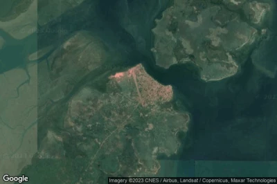
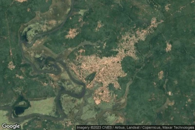
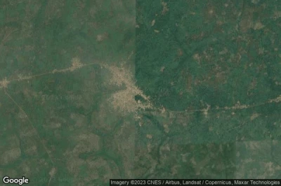
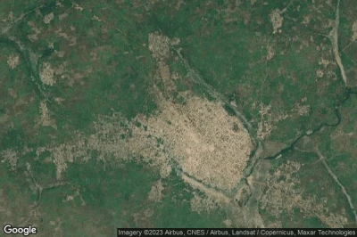
Airports located at the lowest altitudes, especially below sea level in Guinea-Bissau.
#1 Cufar airport at Cufar (Guinea-Bissau) GGCF
Altitude : 20 m = 66ft
Cufar airport is located close to Cufar, Catio at 7.6 km↑, Cachanga at 13 km↑, Quebo at 27 km↑, Buba at 38 km↑, Bolama at 45 km↑, Bubaque at 71 km↑,
The longest runway measure : 1899 m = 6230ft
- runway 06/24 : 1899m = 6230ft
-> Aviation weather for Cufar airport
#2 Bubaque airport at Bubaque (Guinea-Bissau) GGBU BQE
Altitude : 22 m = 72ft
Bubaque airport is located close to Bubaque, Bubaque at 1.7 km↑, Bolama at 51 km↑, Cachanga at 61 km↑, Catio at 64 km↑, Quinhamel at 65 km↑, Bissau at 68 km↑,
-> Aviation weather for Bubaque airport
#3 Osvaldo Vieira International airport at Bissau (Guinea-Bissau) GGOV OXB
Altitude : 39 m = 128ft
Osvaldo Vieira International airport is located close to Bissau, Intusso at 0.7 km↑, Bissau at 7 km↑, Quinhamel at 21 km↑, Bolama at 40 km↑, Mansoa at 41 km↑, Bissora at 43 km↑,
The longest runway measure : 3200 m = 10499ft
- runway 03/21 : 3200m = 10499ft
-> Aviation weather for Osvaldo Vieira International airport
#4 Bafatá airport at Bafatá (Guinea-Bissau) GGBF
Altitude : 44 m = 144ft
Bafatá airport is located close to Bafatá, Bafata at 1.4 km↑, Bafatá at 10 km↑, Sinchã Jai at 27 km↑, Bambato at 39 km↑, Gabu at 49 km↑, Farim at 70 km↑,
-> Aviation weather for Bafatá airport
#5 Quebo airport at Quebo (Guinea-Bissau) GG64
Altitude : 50 m = 164ft
Quebo airport is located close to Quebo, Buba at 26 km↑, Quebo at 29 km↑, Catio at 60 km↑, Cachanga at 61 km↑, Préfecture de Boké at 63 km↑, Sinchã Jai at 69 km↑,
The longest runway measure : 1206 m = 3957ft
- runway 14/32 : 1206m = 3957ft
-> Aviation weather for Quebo airport
#6 Gabu airport at Gabu (Guinea-Bissau) GGGB
Altitude : 68 m = 223ft
Gabu airport is located close to Gabu, Gabu at 2.3 km↑, Sinchã Jai at 33 km↑, Bambato at 45 km↑, Bafata at 49 km↑, Bafatá at 58 km↑, Kolda at 79 km↑,
-> Aviation weather for Gabu airport
#7 Piche airport at Piche (Guinea-Bissau) GW-0001
Altitude : 72 m = 236ft
Piche airport is located close to Piche, Gabu at 28 km↑, Sinchã Jai at 59 km↑, Bambato at 71 km↑, Koundara at 74 km↑, Bafata at 79 km↑, Préfecture de Koundara at 87 km↑,
-> Aviation weather for Piche airport
Data sources
- AVWX (avwx.rest)
- Aerial maps : Google Maps (www.google.com), Microsoft Bing (www.microsoft.com) ou OpenStreetMap (www.openstreetmap.org)


