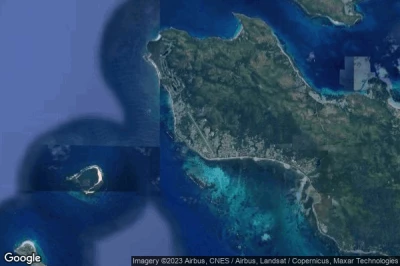
Les aéroports situés aux altitudes les plus basses, allant jusqu'en dessous du niveau de la mer en Seychelles.
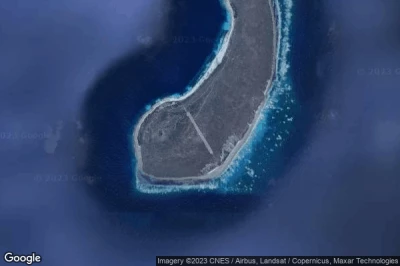
#1 aéroport de Bird Island à Bird Island (Seychelles) FSSB BDI
Altitude : 2 m = 7ft
aéroport de Bird Island est situé à proximité de Bird Island, English River à 100 km↑, Bel Ombre à 102 km↑, Victoria à 103 km↑, Anse Royale à 117 km↑, Antsiranana à 1152 km↑, Betahitra à 1158 km↑,
-> Météo aéronautique de l'Aéroport Bird Island
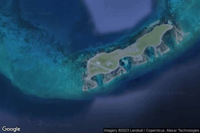
#2 aéroport d'Alphonse à Alphonse Island (Seychelles) FSAL
Altitude : 3 m = 10ft
aéroport d'Alphonse est situé à proximité de Alphonse Island, Anse Royale à 399 km↑, Bel Ombre à 399 km↑, Victoria à 402 km↑, English River à 403 km↑, Antsiranana à 697 km↑, Betahitra à 703 km↑,
La plus longue piste mesure : 1214 m = 3983ft
- piste 15/33 : 1214m = 3983ft
-> Météo aéronautique de l'Aéroport Alphonse
#3 aéroport d'Assumption Island à Assumption Island (Seychelles) FSAS
Altitude : 3 m = 10ft
aéroport d'Assumption Island est situé à proximité de Assumption Island, Hajoho à 344 km↑, Harembo à 346 km↑, Ongoni à 347 km↑, Ouani à 350 km↑, Dziani à 350 km↑, Barakani à 350 km↑,
La plus longue piste mesure : 369 m = 1211ft
- piste 16/34 : 369m = 1211ft
-> Météo aéronautique de l'Aéroport Assumption Island
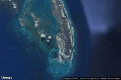
#4 aéroport de Darros à Darros Island (Seychelles) FSDA
Altitude : 3 m = 10ft
aéroport de Darros est situé à proximité de Darros Island, Bel Ombre à 251 km↑, Victoria à 254 km↑, English River à 255 km↑, Anse Royale à 257 km↑, Antsiranana à 881 km↑, Betahitra à 887 km↑,
-> Météo aéronautique de l'Aéroport Darros
#5 aéroport de Desroches à Desroches Island (Seychelles) FSDR DES
Altitude : 3 m = 10ft
aéroport de Desroches est situé à proximité de Desroches Island, Bel Ombre à 229 km↑, Victoria à 232 km↑, Anse Royale à 232 km↑, English River à 234 km↑, Antsiranana à 875 km↑, Betahitra à 881 km↑,
La plus longue piste mesure : 1381 m = 4531ft
- piste 12/30 : 1381m = 4531ft
-> Météo aéronautique de l'Aéroport Desroches
#6 aéroport de Farquhar à Farquhar Group (Seychelles) FSFA
Altitude : 3 m = 10ft
aéroport de Farquhar est situé à proximité de Farquhar Group, Antsiranana à 317 km↑, Betahitra à 322 km↑, Ankorefo à 344 km↑, Ampasibajina à 385 km↑, Ambilobe à 414 km↑, Diana à 445 km↑,
La plus longue piste mesure : 925 m = 3035ft
- piste 13/31 : 925m = 3035ft
-> Météo aéronautique de l'Aéroport Farquhar
#7 aéroport de Seychelles International (Pointe Larue) à Victoria (Seychelles) FSIA SEZ
Altitude : 3 m = 10ft
aéroport de Seychelles International est situé à proximité de Victoria, Anse Royale à 6.6 km↑, Victoria à 10 km↑, English River à 12 km↑, Bel Ombre à 13 km↑, Antsiranana à 1088 km↑, Betahitra à 1094 km↑,
La plus longue piste mesure : 2987 m = 9800ft
- piste 13/31 : 2987m = 9800ft
-> Météo aéronautique de l'Aéroport Seychelles International
#8 aéroport de Marie Louise à Marie-Louise Island (Seychelles) FSMA
Altitude : 3 m = 10ft
aéroport de Marie Louise est situé à proximité de Marie-Louise Island, Bel Ombre à 305 km↑, Anse Royale à 308 km↑, Victoria à 308 km↑, English River à 310 km↑, Antsiranana à 800 km↑, Betahitra à 806 km↑,
-> Météo aéronautique de l'Aéroport Marie Louise
#9 aéroport de Platte à Platte Island (Seychelles) FSPL
Altitude : 3 m = 10ft
aéroport de Platte est situé à proximité de Platte Island, Anse Royale à 126 km↑, Bel Ombre à 138 km↑, Victoria à 138 km↑, English River à 141 km↑, Antsiranana à 978 km↑, Betahitra à 983 km↑,
-> Météo aéronautique de l'Aéroport Platte
#10 aéroport de Praslin à Praslin Island (Seychelles) FSPP PRI
Altitude : 3 m = 10ft
aéroport de Praslin est situé à proximité de Praslin Island, English River à 40 km↑, Victoria à 43 km↑, Bel Ombre à 45 km↑, Anse Royale à 50 km↑, Antsiranana à 1131 km↑, Betahitra à 1136 km↑,
La plus longue piste mesure : 1316 m = 4318ft
- piste 15/33 : 1316m = 4318ft
-> Météo aéronautique de l'Aéroport Praslin
#11 aéroport de Coetivy à Coetivy Island (Seychelles) FSSC
#12 aéroport de Denis Island à Denis Island (Seychelles) FSSD DEI
#13 aéroport de Remire à Remire Island (Seychelles) FSSR
#14 aéroport d'Astove Island à Astove Island (Seychelles) FSSA
#15 aéroport de Poivre à Poivre (Seychelles) SC-0007
#16 aéroport de Frégate Island à Frégate Island (Seychelles) FSSF FRK
Sources des données
- AVWX (avwx.rest)
- Vues aériennes : Google Maps (www.google.com), Microsoft Bing (www.microsoft.com) ou OpenStreetMap (www.openstreetmap.org)


