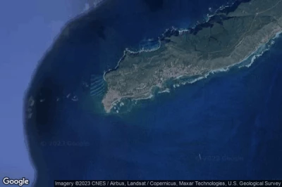
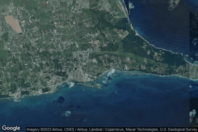
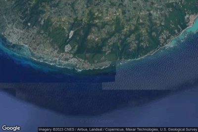
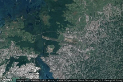
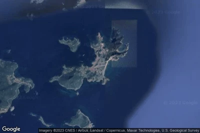
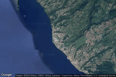
Les aéroports situés aux altitudes les plus basses, allant jusqu'en dessous du niveau de la mer en Guadeloupe.
#1 aéroport de Grande Anse à Grande Anse (Guadeloupe) TFFA DSD
Altitude : 3 m = 10ft
aéroport de Grande Anse est situé à proximité de Grande Anse, Grande Anse à 1.3 km↑, Saint-Francois à 21 km↑, Portland à 26 km↑, Le Moule à 28 km↑, Poirier à 31 km↑, Sainte-Anne à 32 km↑,
-> Météo aéronautique de l'Aéroport Grande Anse
#2 aéroport de Saint-François à St-François (Guadeloupe) TFFC SFC
Altitude : 3 m = 10ft
aéroport de Saint-François est situé à proximité de St-François, Saint-Francois à 1.4 km↑, Portland à 9.8 km↑, Poirier à 12 km↑, Le Moule à 12 km↑, Sainte-Anne à 13 km↑, Grande Anse à 21 km↑,
-> Météo aéronautique de l'Aéroport Saint-François
#3 aéroport de Marie Galant Grand Bourg à Grand Bourg (Guadeloupe) TFFM GBJ
Altitude : 5 m = 16ft
aéroport de Marie Galant Grand Bourg est situé à proximité de Grand Bourg, Grand-Bourg à 5.1 km↑, Calibishie à 33 km↑, Capesterre-Belle-Eau à 37 km↑, Saint John à 37 km↑, Portsmouth à 38 km↑, Lagon à 38 km↑,
La plus longue piste mesure : 1240 m = 4068ft
- piste 09/27 : 1240m = 4068ft
-> Météo aéronautique de l'Aéroport Marie Galant Grand Bourg
#4 aéroport de Pointe-à-Pitre Le Raizet à Pointe-à-Pitre (Guadeloupe) TFFR PTP
Altitude : 11 m = 36ft
aéroport de Pointe-à-Pitre Le Raizet est situé à proximité de Pointe-à-Pitre, Baimbridge à 2.7 km↑, Les Abymes à 3.4 km↑, Longval à 3.4 km↑, Pointe-à-Pitre à 3.9 km↑, Baie-Mahault à 5.5 km↑, Guadeloupe à 5.8 km↑,
La plus longue piste mesure : 3505 m = 11499ft
- piste 12/30 : 3505m = 11499ft
-> Météo aéronautique de l'Aéroport Pointe-à-Pitre Le Raizet
#5 aéroport de Terre-de-Haut à Les Saintes (Guadeloupe) TFFS LSS
Altitude : 14 m = 46ft
aéroport de Terre-de-Haut est situé à proximité de Les Saintes, Terre-de-Bas à 7 km↑, Trois-Rivieres à 14 km↑, Champfleury à 17 km↑, Gourbeyre à 19 km↑, Capesterre-Belle-Eau à 20 km↑, Basse-Terre à 21 km↑,
-> Météo aéronautique de l'Aéroport Terre-de-Haut
#6 aéroport de Baillif à Basse Terre (Guadeloupe) TFFB BBR
Altitude : 18 m = 59ft
aéroport de Baillif est situé à proximité de Basse Terre, Baillif à 0.9 km↑, Basse-Terre à 3.1 km↑, Saint-Claude à 4.5 km↑, Vieux-Habitants à 5.7 km↑, Gourbeyre à 5.8 km↑, Champfleury à 7.5 km↑,
-> Météo aéronautique de l'Aéroport Baillif
Sources des données
- AVWX (avwx.rest)
- Vues aériennes : Google Maps (www.google.com), Microsoft Bing (www.microsoft.com) ou OpenStreetMap (www.openstreetmap.org)
