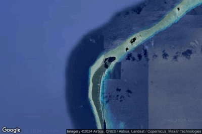
世界上跑道最长的机场,因为它们处于高空或飞机需要更高的速度才能飞行。 长长的跑道可容纳最大的飞机或像美国航天飞机这样的非标准飞机 在 马绍尔群岛.
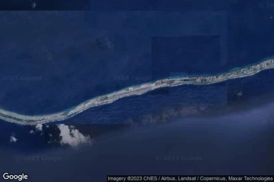
#1 Majuro Atoll机场 在 Majuro Atoll (马绍尔群岛) PKMJ MAJ
机场的高度为 : 2 m = 7ft
Majuro Atoll机场它位于附近 Majuro Atoll, RMI Capitol 在 12 km↑, Majuro 在 12 km↑, Majuro Atoll 在 12 km↑, Arno 在 31 km↑, Mili 在 121 km↑, Mili Atoll 在 126 km↑,
最长的跑道措施 : 2407 m = 7897ft
- 跑道 07/25 : 2407m = 7897ft
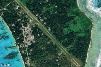
-> Majuro Atoll机场的鸟瞰图
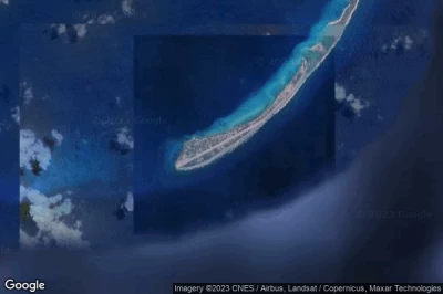
#2 Eniwetok机场 在 Eniwetok Atoll (马绍尔群岛) PKMA ENT
机场的高度为 : 4 m = 13ft
Eniwetok机场它位于附近 Eniwetok Atoll, Enewetak 在 1.2 km↑, Wotho 在 423 km↑, Ujae Atoll 在 440 km↑, Ujae 在 462 km↑, Rongelap 在 498 km↑, Lae 在 508 km↑,
最长的跑道措施 : 2347 m = 7700ft
- 跑道 06/24 : 2347m = 7700ft
-> Eniwetok机场的鸟瞰图
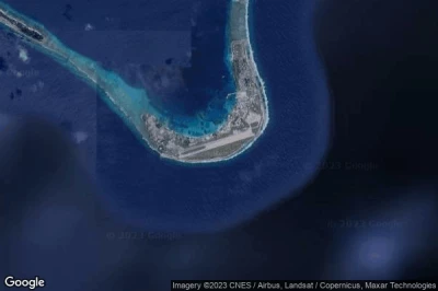
#3 Bucholz Army Air Field机场 在 Kwajalein (马绍尔群岛) PKWA KWA
机场的高度为 : 3 m = 10ft
Bucholz Army Air Field机场它位于附近 Kwajalein, Enubuj 在 6 km↑, Ebaye 在 6.1 km↑, Lib 在 60 km↑, Kwajalein Atoll 在 69 km↑, Loen 在 120 km↑, Lae 在 163 km↑,
最长的跑道措施 : 2032 m = 6667ft
- 跑道 06/24 : 2032m = 6667ft
-> Bucholz Army Air Field机场的鸟瞰图
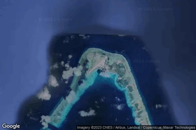
#4 Dyess Army Air Field机场 在 Roi-Namur (马绍尔群岛) PKRO
机场的高度为 : 3 m = 10ft
Dyess Army Air Field机场它位于附近 Roi-Namur, Kwajalein Atoll 在 30 km↑, Ebaye 在 75 km↑, Enubuj 在 76 km↑, Lib 在 121 km↑, Lae 在 143 km↑, Wotho 在 181 km↑,
最长的跑道措施 : 1371 m = 4498ft
- 跑道 04/22 : 1371m = 4498ft
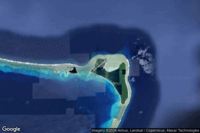
-> Dyess Army Air Field机场的鸟瞰图
#5 Utirik机场 在 Utirik Island (马绍尔群岛) UTK 03N
机场的高度为 : 1 m = 3ft
Utirik机场它位于附近 Utirik Island, Utrik 在 0.8 km↑, Ailuk 在 112 km↑, Mejit 在 153 km↑, Likiep 在 166 km↑, Wotje 在 201 km↑, Taroa 在 318 km↑,
最长的跑道措施 : 732 m = 2402ft
- 跑道 07/25 : 732m = 2402ft
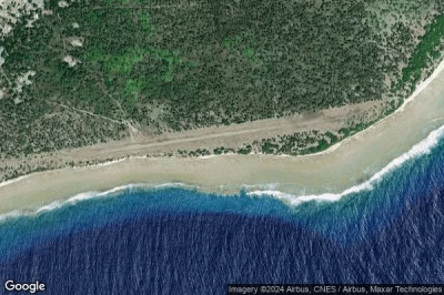
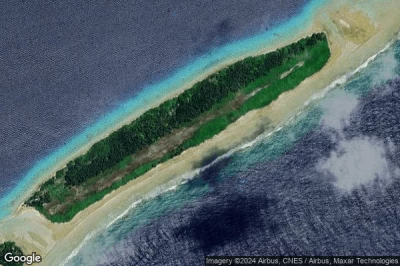
-> Utirik机场的鸟瞰图
#6 Majkin机场 在 Majkin (马绍尔群岛) MJE MH-MJE
机场的高度为 : 7 m = 23ft
Majkin机场它位于附近 Majkin, Loen 在 3.9 km↑, Jabat 在 78 km↑, Airuk 在 82 km↑, Lib 在 115 km↑, Ebaye 在 127 km↑, Enubuj 在 127 km↑,
-> Majkin机场的鸟瞰图
#7 Wotho Island机场 在 Wotho Island (马绍尔群岛) WTO MH-WTO
机场的高度为 : 8 m = 26ft
Wotho Island机场它位于附近 Wotho Island, Wotho 在 1.1 km↑, Ujae Atoll 在 128 km↑, Ujae 在 140 km↑, Lae 在 142 km↑, Rongelap 在 147 km↑, Kwajalein Atoll 在 181 km↑,
-> Wotho Island机场的鸟瞰图
#8 Wotje机场 在 Wotje (马绍尔群岛) WTE MH-WTE
机场的高度为 : 1 m = 3ft
Wotje机场它位于附近 Wotje, Wotje 在 0.5 km↑, Ailuk 在 89 km↑, Likiep 在 110 km↑, Mejit 在 114 km↑, Taroa 在 137 km↑, Aur 在 178 km↑,
-> Wotje机场的鸟瞰图
#9 Woja机场 在 Woja (马绍尔群岛) WJA MH-WJA
机场的高度为 : 6 m = 20ft
Woja机场它位于附近 Woja, Airuk 在 35 km↑, Loen 在 49 km↑, Jabat 在 57 km↑, Lib 在 161 km↑, Ebaye 在 172 km↑, Enubuj 在 173 km↑,
-> Woja机场的鸟瞰图
#10 Jaluit机场 在 Jabor Jaluit Atoll (马绍尔群岛) UIT MH-UIT
机场的高度为 : 1 m = 3ft
Jaluit机场它位于附近 Jabor Jaluit Atoll, Jabor 在 1.5 km↑, Kili 在 64 km↑, Namdrik 在 173 km↑, Airuk 在 177 km↑, Ebon 在 181 km↑, Jabat 在 217 km↑,
-> Jaluit机场的鸟瞰图
#12 Tabal Airstrip机场 在 Tabal Island (马绍尔群岛) TBV
#13 Rongelap Island机场 在 Rongelap Island (马绍尔群岛) RNP MH-RNP
#14 Namorik Atoll机场 在 Namorik Atoll (马绍尔群岛) NDK MH-NDK
#15 Mili Island机场 在 Mili Island (马绍尔群岛) MLIP MIJ
#17 Mejit Atoll机场 在 Mejit Atoll (马绍尔群岛) MJB MH-MJB
#18 Maloelap Island机场 在 Maloelap Island (马绍尔群岛) MAV MH-MAV
#19 Lae Island机场 在 Lae Island (马绍尔群岛) LML MH-LML
#30 Aur Island机场 在 Aur Atoll (马绍尔群岛) AUL MH-AUL
数据源
- AVWX (avwx.rest)
- 的鸟瞰图 : Google Maps (www.google.com), Microsoft Bing (www.microsoft.com) ou OpenStreetMap (www.openstreetmap.org)
