Les infos sur l'aéroport, de la carte aux hôtels en passant par les informations aéronautiques. Et la météo aéronautique pour les pilotes, les METAR (METeorological Aerodrome Report, message d'observation des conditions météorologiques pour l'aviation) et les TAF (Terminal Aerodrome Forecast : message de prévision à court terme des conditions météorologiques pour l'aviation). Et les autres ressources comme les cartes VAC (Visual Approach Chart) pour préprer les vols.
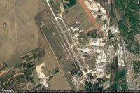


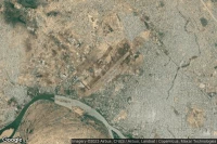

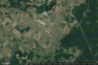


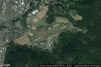


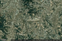
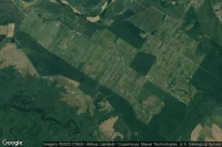
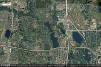
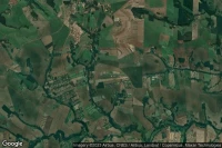
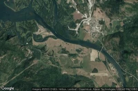
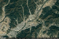
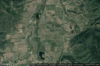
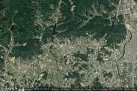
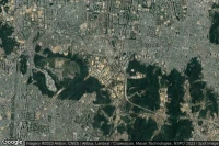
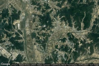
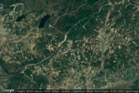
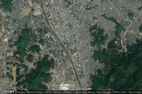
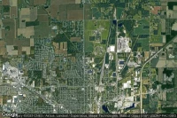
Vélizy-Villacoublay Paris (France)

Météo aéro et infos de aéroport de Vélizy-Villacoublay Air Base (LFPV VIY )

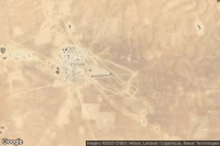

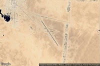
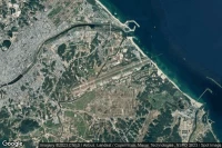
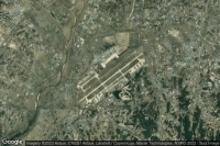
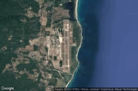
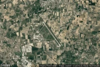
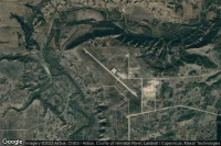
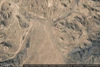
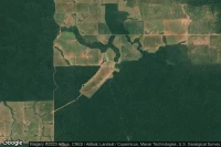
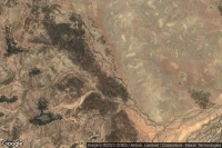
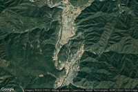
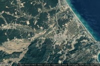
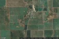
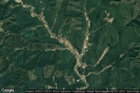
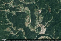
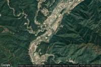
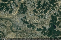
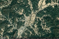
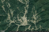
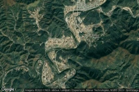
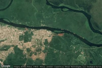
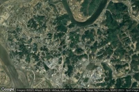
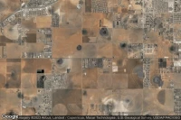
Costanza (République Dominicaine)

Infos de aéroport de Constanza - Expedición 14 De Junio National (MDCZ COZ )


Sources des données
- Infos générales : AVWX, France FFPLUM
- METAR : AVWX
- TAF : AVWX
- Météo générale : Openweathermap et AVWX
- NOTAM : FAA
- VAC : France DGAC/SIA, Espagne ENAIRE, Belgique SKEYES
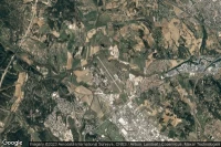
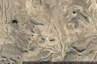
- Vues aériennes : Google Maps, Microsoft Bing ou OpenStreetMap