Airport information, from map to hotels via aeronautical information. And the aeronautical weather for the pilots with current weather and short-term forecasts with METAR (METeorological Aerodrome Report, observation message of meteorological conditions for aviation) and TAF (Terminal Aerodrome Forecast: short-term forecast message of meteorological conditions for aviation ). And other resources such as VAC (Visual Approach Chart) to prepare flights.
Cottage Grove State airport (United State)
Cottage Grove State airport is located near Cottage Grove, with Cottage Grove at 2mi↑, Creswell at 8mi↑, Lane County at 13mi↑, Lowell at 15mi↑, Springfield at 17mi↑, Drain at 17mi↑, Eugene at 18mi↑, Yoncalla at 19mi↑,→ See also Northernmost airports in United State and Southernmost airports in United State
→ See also airports in United State
Airport code
- ICAO code : -
- IATA code : -
- Local code : 61S
Elevation : 195 m = 640ft
→ See also Highest airports in USA and Lowest airports in United State
Runways
- runway 15/33 : 972m = 3189ft
→ See also Airports with Longest runways in United State
Coming to Cottage Grove State airport
Hotels : book on Hotels.com
Taxi : book on Taxi Booking
Rent a car : book on Rentalcars
By train : book on Trip.com
- Amtrak Station Eugene, OR train station at 18mi
- Albany, OR train station at 58mi
By plane :
- Mahlon Sweet Field airport at 24mi : book on Iberia
- Roseburg Regional airport at 42mi : book on Trip.com
- Corvallis Municipal airport at 50mi : book on Trip.com
Aviation weather for Cottage Grove State airport 61S
No METAR for Cottage Grove State airport
but aviation weather is available at Mahlon Sweet Field airport (KEUG) at 24mi↑
No TAF for Cottage Grove State airport
but aviation weather is available at Mahlon Sweet Field airport (KEUG) at 24mi↑
Around Cottage Grove State airport (United State)
near
- Hotels in Cottage Grove
- Renaissance Philadelphia Downtown Hotel (Philadelphia) at 2443mi↑
- MoMA (New York) at 2479mi↑
- Le Matissia (Paris) at 5232mi↑
- Paris at 5233mi↑
- Hotel Monge (Paris) at 5234mi↑
- Cité du Vin (Bordeaux) at 5367mi↑
- Hôtel de Tourny (Bordeaux) at 5367mi↑
- Bordeaux at 5367mi↑
- Hôtel Cardinal (Bordeaux) at 5367mi↑
- Guggenheim Museum Bilbao (Bilbao) at 5377mi↑
- Station de montagne Le Champ du Feu at 5390mi↑
- Hotel Origami (Strasbourg) at 5391mi↑
- for Cottage Grove State airport at 0mi↑
- for Cottage Grove Community Hospital airport at 1mi↑
nearest airports to Cottage Grove State airport (United State)
- Cottage Grove Community Hospital heliport ( 68OR) at 1mi↑defunct airport
- Cottage Grove Community Hospital heliport ( US-3781) at 1mi↑
- Walker airport ( OR57) at 5mi↑
- Mazama Timber Pad heliport ( OR58) at 8mi↑defunct airport
- Hobby Field airport ( 77S) at 9mi↑METAR
- Lost Creek airport ( 82OR) at 13mi↑
- Jasper Ridge Airstrip airport ( 36OR) at 16mi↑
- Eugene Airpark airport ( US-6069) at 17mi↑defunct airport
- Sacred Heart General Hospital heliport ( OR69) at 17mi↑
- Saxon's heliport ( 23OR) at 17mi↑
- McKenzie-Willamette Medical Center heliport ( 41OR) at 18mi↑
- Springfield airport ( US-6067) at 18mi↑defunct airport
→ See also Former airports in United State
Data sources
- Infos générales : AVWX, France FFPLUM
- METAR : AVWX
- TAF : AVWX
- Météo générale : Openweathermap et AVWX
- NOTAM : FAA
- VAC : France DGAC/SIA, Espagne ENAIRE, Belgique SKEYES
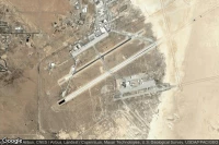
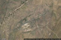
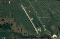
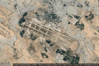
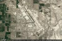
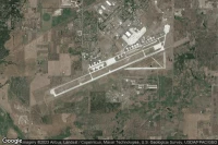
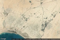
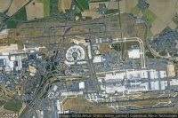
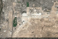
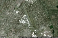
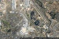
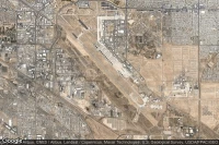
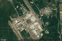
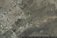
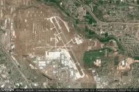
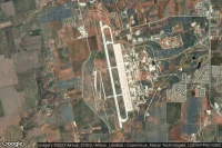
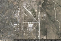
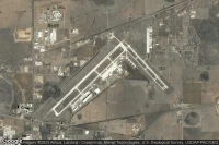
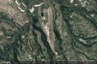
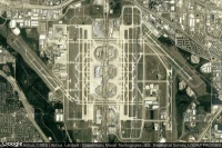
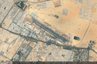
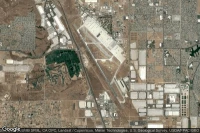
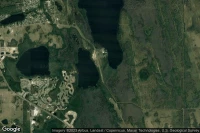
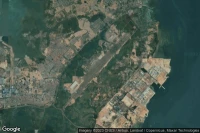
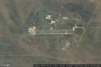
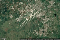
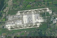
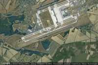
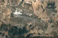
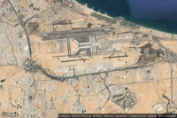
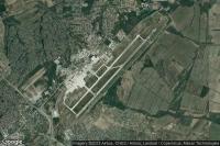
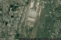
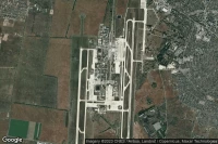
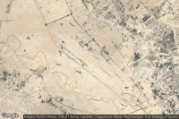
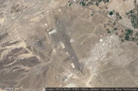
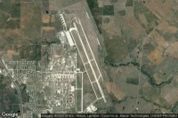
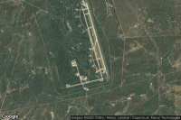
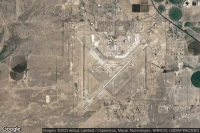
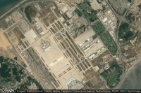
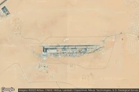
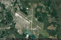
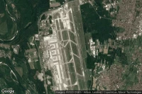
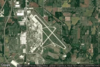
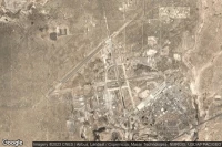
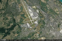
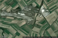
- Aerial maps : Google Maps, Microsoft Bing ou OpenStreetMap