Les infos sur l'aéroport, de la carte aux hôtels en passant par les informations aéronautiques. Et la météo aéronautique pour les pilotes, les METAR (METeorological Aerodrome Report, message d'observation des conditions météorologiques pour l'aviation) et les TAF (Terminal Aerodrome Forecast : message de prévision à court terme des conditions météorologiques pour l'aviation). Et les autres ressources comme les cartes VAC (Visual Approach Chart) pour préprer les vols.
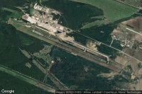
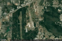
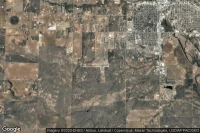
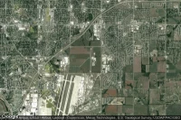
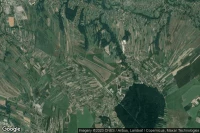
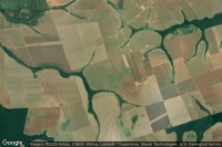
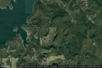
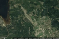
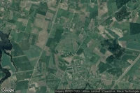
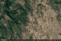
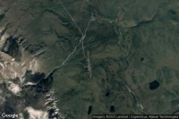
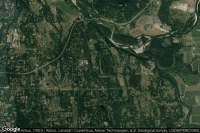
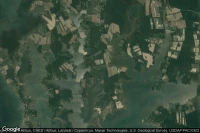
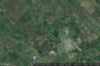
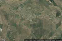
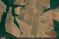
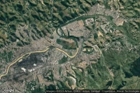
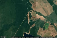
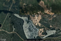
Everett (Etats-Unis)
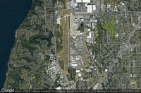
Météo aéro et infos de aéroport de Seattle Paine Field International (KPAE PAE )
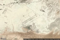
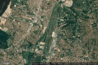
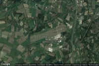
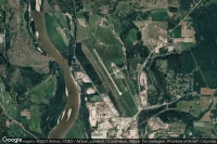
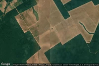
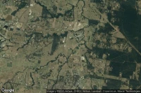
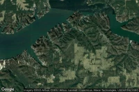
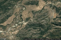
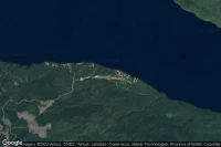
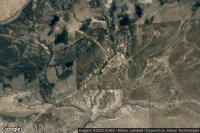
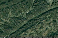
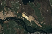
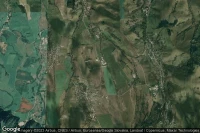
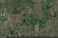
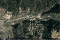
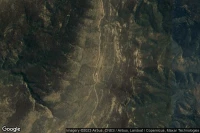
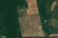
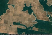
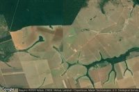
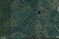
Redstone Arsnl Huntsville (Etats-Unis)
Météo aéro et infos de aéroport de Redstone Army Air Field (KHUA HUA )
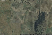
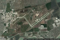
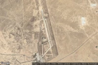
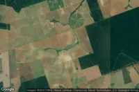
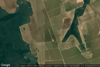
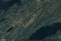
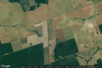
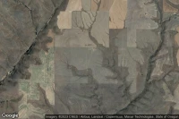
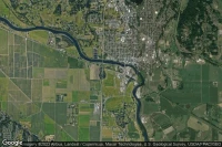
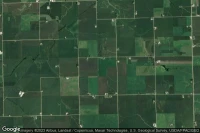
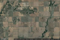
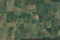
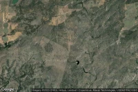
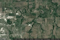
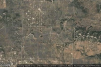
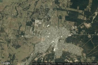
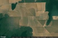
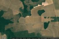
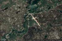
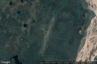
Athens Albany (Etats-Unis)

Météo aéro et infos de aéroport d'Ohio University Snyder Field (KUNI ATO )

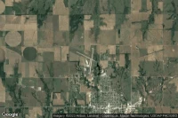

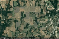


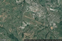


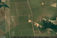
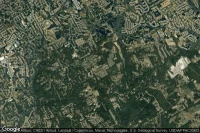
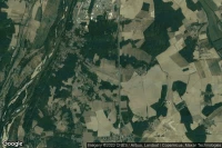
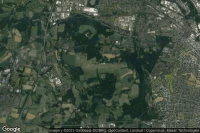
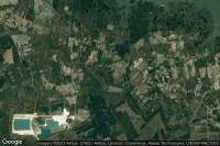
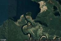


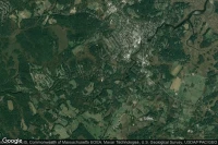

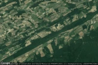


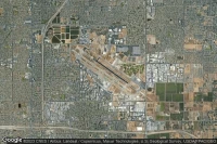
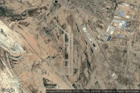
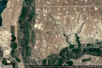
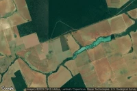
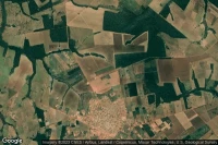
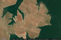
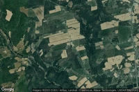
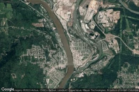
Shreveport (Etats-Unis)
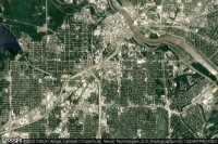
Infos de héliport d'Ochsner LSU Health Shreveport Saint Mary Medical Center ( 77LA)


Sources des données
- Infos générales : AVWX, France FFPLUM
- METAR : AVWX
- TAF : AVWX
- Météo générale : Openweathermap et AVWX
- NOTAM : FAA
- VAC : France DGAC/SIA, Espagne ENAIRE, Belgique SKEYES
- Vues aériennes : Google Maps, Microsoft Bing ou OpenStreetMap