Airport information, from map to hotels via aeronautical information. And the aeronautical weather for the pilots with current weather and short-term forecasts with METAR (METeorological Aerodrome Report, observation message of meteorological conditions for aviation) and TAF (Terminal Aerodrome Forecast: short-term forecast message of meteorological conditions for aviation ). And other resources such as VAC (Visual Approach Chart) to prepare flights.
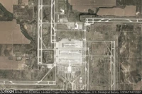
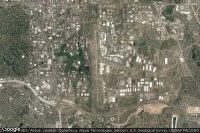
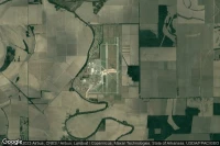
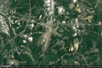
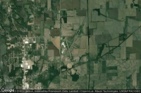
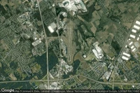
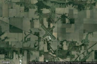
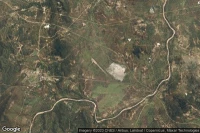
Jacksonville (United State)
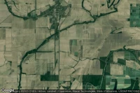
Little Rock Air Force Base airport aviation weather and facilities (KLRF LRF LRF)
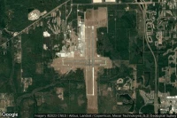
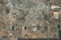
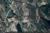
Greenville (United State)
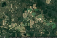
Greenville Spartanburg International airport aviation weather and facilities (KGSP GSP )
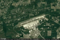
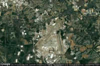
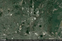
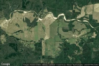
Jacksonville (United State)

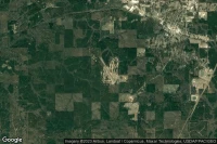
Jacksonville International airport aviation weather and facilities (KJAX JAX JAX)
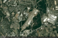
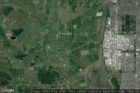
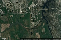
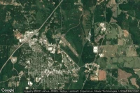
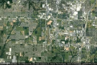
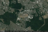
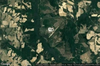
Denver (United State)
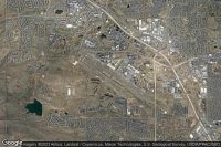
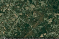
Rocky Mountain Metropolitan airport aviation weather and facilities (KBJC BJC )
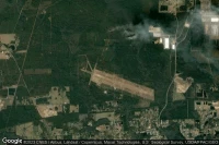
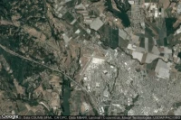
Jacksonville (United State)

Jacksonville Naval Air Station (Towers Field) airport aviation weather and facilities (KNIP NIP )

Jacksonville (United State)

New River MCAS /H/ /Mccutcheon Fld/ airport aviation weather and facilities (KNCA )
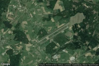
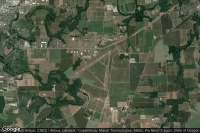
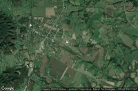
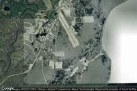
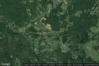
Mc Minnville (United State)
Warren County Memorial airport aviation weather and facilities (KRNC RNC )

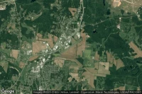
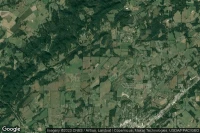
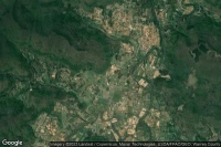
Clintonville (United State)

Clintonville Municipal airport aviation weather and facilities (KCLI CLI )
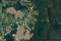
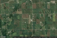
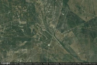
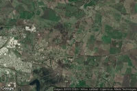
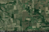
Stephenville (United State)
Stephenville Clark Regional airport aviation weather and facilities (KSEP SEP )
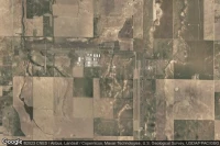
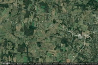
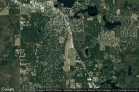
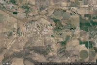
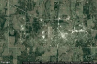
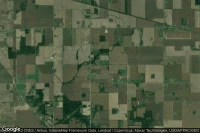
Bentonville (United State)
Bentonville Municipal-Louise M Thaden Field airport aviation weather and facilities (KVBT )
Jacksonville (United State)

Jacksonville Executive at Craig airport aviation weather and facilities (KCRG CRG )
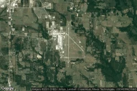
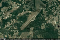
Fort Indiantown Gap(Annville) (United State)
Muir Army Air Field (Fort Indiantown Gap) airport aviation weather and facilities (KMUI MUI )

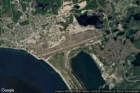
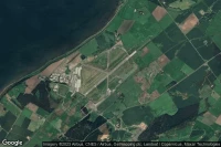
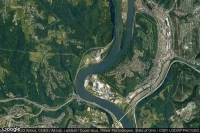
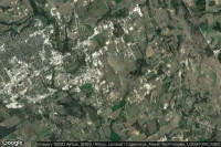
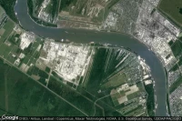
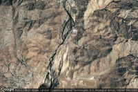
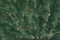
Lanvéoc (France)
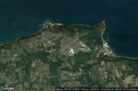
Base d'aéronautique navale de Lanvéoc-Poulmic airport aviation weather and facilities (LFRL )
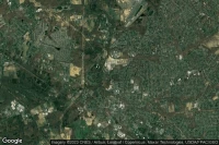
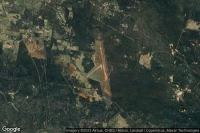
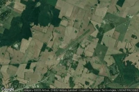
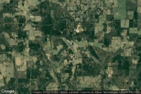
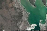
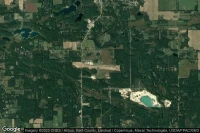
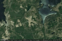
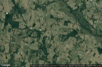
Ortonville (United State)
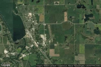
Ortonville Municipal Martinson Field airport aviation weather and facilities (KVVV )


Data sources
- Infos générales : AVWX, France FFPLUM
- METAR : AVWX
- TAF : AVWX
- Météo générale : Openweathermap et AVWX
- NOTAM : FAA
- VAC : France DGAC/SIA, Espagne ENAIRE, Belgique SKEYES
- Aerial maps : Google Maps, Microsoft Bing ou OpenStreetMap