हवाई अड्डे की जानकारी, मानचित्र से लेकर वैमानिकी सूचना के माध्यम से होटलों तक। और वर्तमान मौसम के साथ पायलटों के लिए वैमानिकी मौसम और METAR (मौसम संबंधी हवाई अड्डा रिपोर्ट, विमानन के लिए मौसम संबंधी स्थितियों का अवलोकन संदेश) और TAF (टर्मिनल हवाई अड्डा पूर्वानुमान: विमानन के लिए मौसम संबंधी स्थितियों का अल्पकालिक पूर्वानुमान संदेश) के साथ अल्पकालिक पूर्वानुमान। और अन्य संसाधन जैसे वीएसी (विजुअल एप्रोच चार्ट) उड़ानें तैयार करने के लिए.
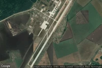


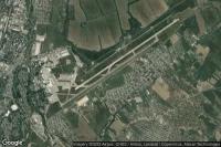


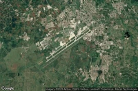
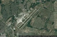
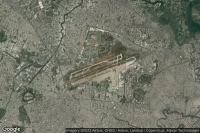
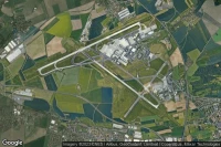
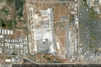
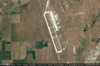
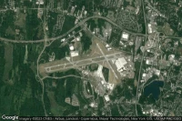
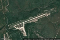
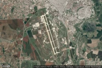
Paris Roissy-en-France (फ्रांस)
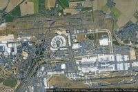
Paris Charles de Gaulle Internationalहवाई अड्डाविमानन मौसम और सुविधाएं (LFPG CDG )
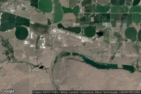
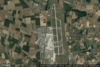
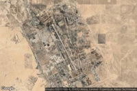
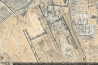
Fort Bliss El Paso (यूएसए)

Biggs Army Air Field (Fort Bliss)हवाई अड्डाविमानन मौसम और सुविधाएं (KBIF BIF )

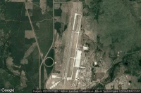
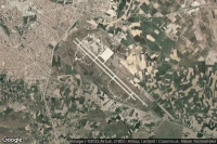
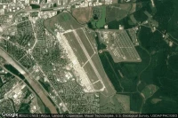
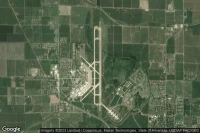
Colorado Springs (यूएसए)
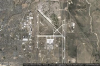
City of Colorado Springs Municipalहवाई अड्डाविमानन मौसम और सुविधाएं (KCOS COS )


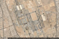
Guadalajara (मेक्सिको)
Don Miguel Hidalgo Y Costilla Internationalहवाई अड्डाविमानन मौसम और सुविधाएं (MMGL GDL )
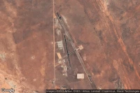
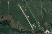
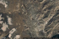
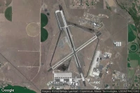
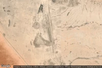
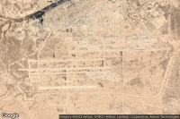
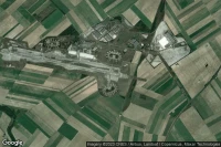
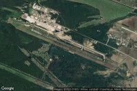
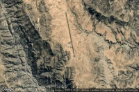
Dugway Proving Ground (यूएसए)
Michael AAF (Dugway Proving Ground)हवाई अड्डाविमानन मौसम और सुविधाएं (KDPG DPG )

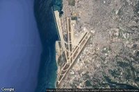
Sydney (आस्ट्रेलिया)

Sydney Kingsford Smith Internationalहवाई अड्डाविमानन मौसम और सुविधाएं (YSSY SYD )
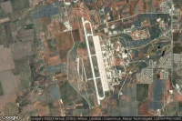
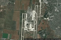
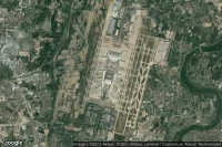
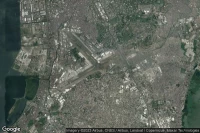
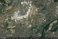
Mexico City (मेक्सिको)
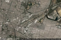
Licenciado Benito Juarez Internationalहवाई अड्डाविमानन मौसम और सुविधाएं (MMMX MEX )


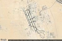


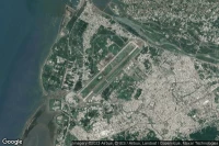
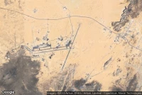
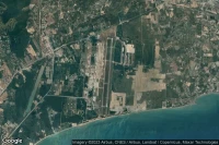
Diego Garcia (ब्रितानी हिंद महासागरीय क्षेत्र)

Diego Garcia Naval Support Facilityहवाई अड्डाविमानन मौसम और सुविधाएं (FJDG NKW )


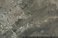
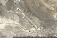
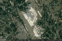
Fort Huachuca Sierra Vista (यूएसए)
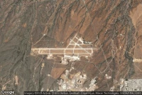
Sierra Vista Municipal Libby Army Air Fieldहवाई अड्डाविमानन मौसम और सुविधाएं (KFHU FHU )
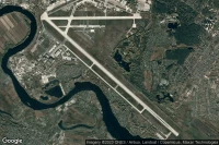
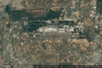
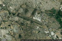
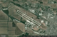
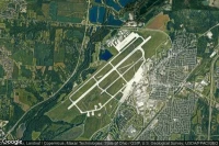
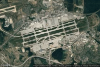
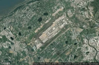
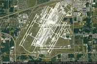
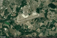
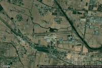
Cincinnati (यूएसए)

Cincinnati Northern Kentucky Internationalहवाई अड्डाविमानन मौसम और सुविधाएं (KCVG CVG )

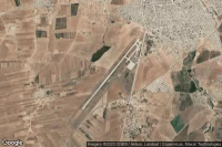


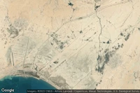
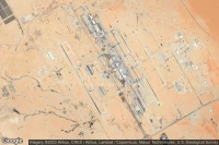
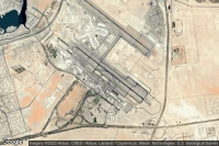
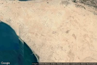
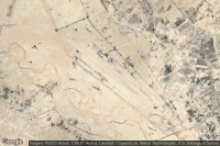
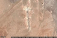
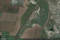
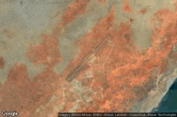
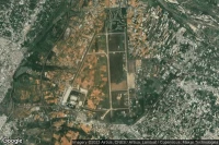
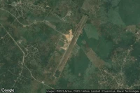
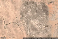
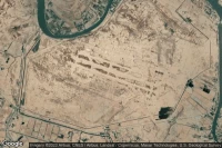
Tamanrasset (अल्जीरिया)
Tamanrasset - Aguenar - Hadj Bey Akhamokहवाई अड्डाविमानन मौसम और सुविधाएं (DAAT TMR )


डेटा स्रोत
- Infos générales : AVWX, France FFPLUM
- METAR : AVWX
- TAF : AVWX
- Météo générale : Openweathermap et AVWX
- NOTAM : FAA
- VAC : France DGAC/SIA, Espagne ENAIRE, Belgique SKEYES
- हवाई नक्शे : Google Maps, Microsoft Bing ou OpenStreetMap